
Grand Canyon-Parashant National Monument Webcams

View Grand Canyon-Parashant National Monument webcams, map, current weather, and visitor notes for remote Grand Canyon overlooks, backcountry roads, camping, dark skies, scenic drives, and travel safety in northwestern Arizona.

Live Cams & Maps

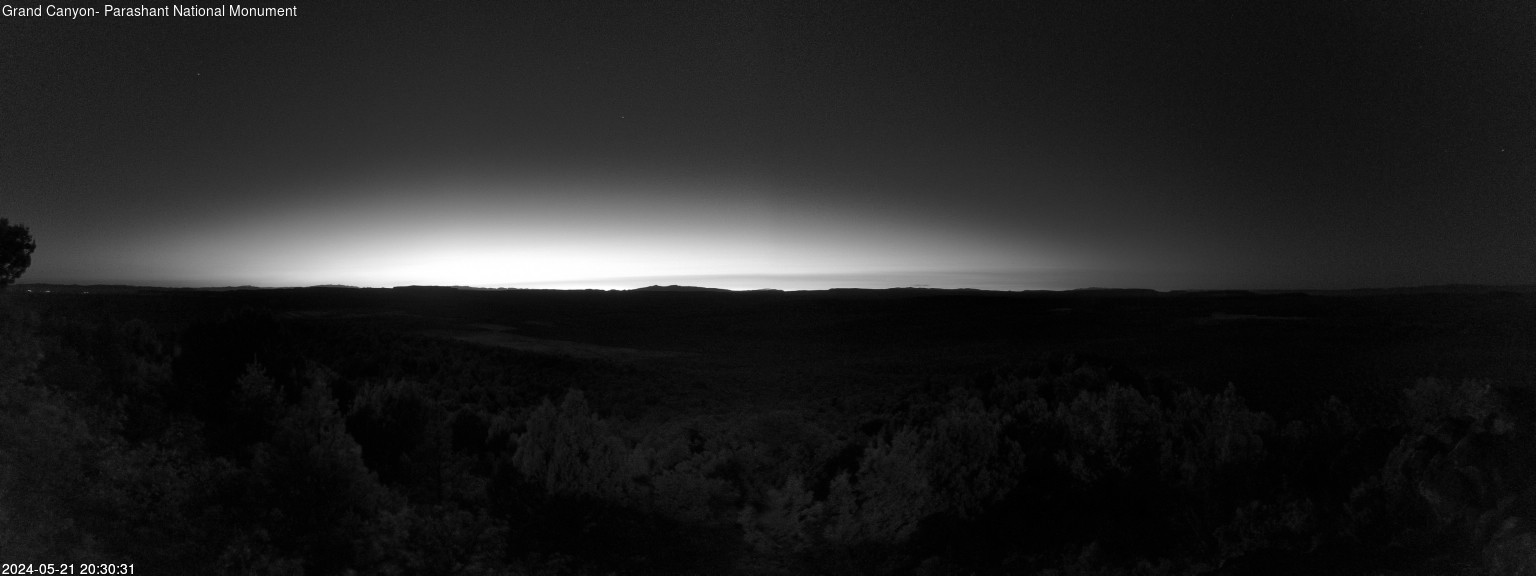
The Grand Canyon-Parashant National Monument webcams include Black Rock Mountain, Black Rock Mountain Dark Sky, and Hudson Point from National Park Service. Check these views with the map and weather before you visit.

Park location
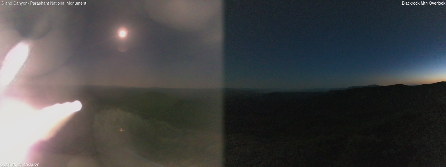
Black Rock Mountain: Elevation: 7,213 feet. View looking south across the Paiute Wilderness.
National Park ServiceBlack Rock Mountain

Active

Elevation: 7,213 feet. View looking south across the Paiute Wilderness.

Open live webcam
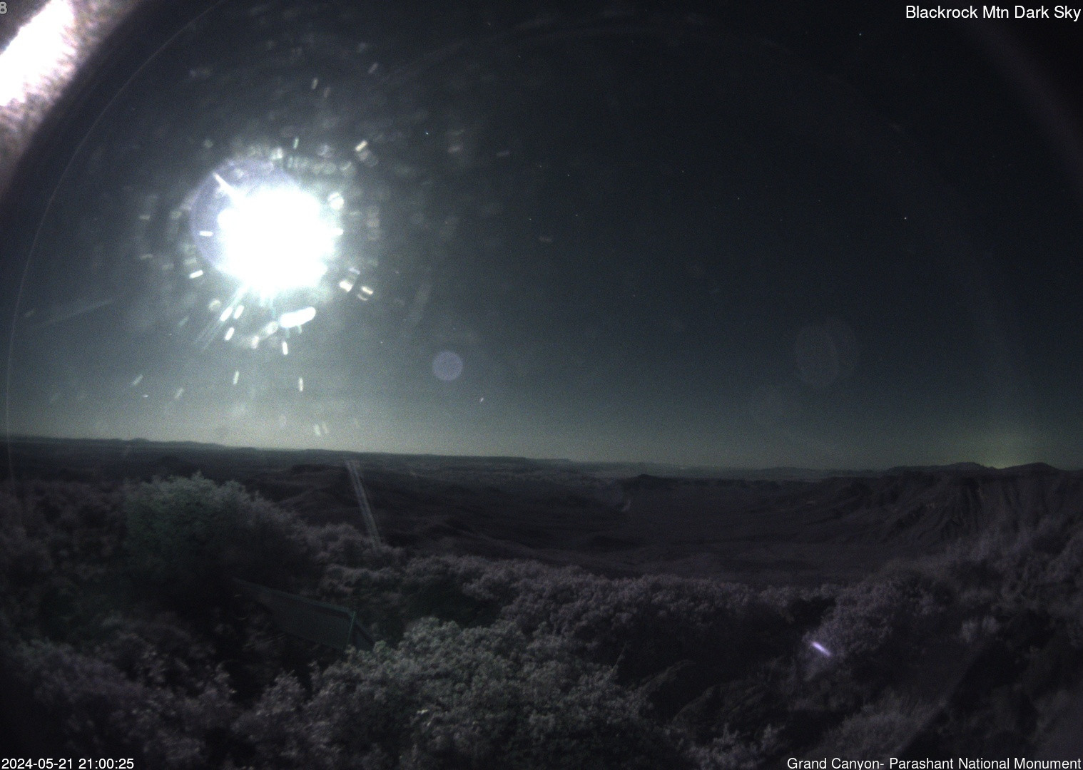
Black Rock Mountain Dark Sky: Elevation: 7,213 feet. Dark sky view looking south across the Paiute Wilderness.
National Park ServiceBlack Rock Mountain Dark Sky

Active

Elevation: 7,213 feet. Dark sky view looking south across the Paiute Wilderness.

Open live webcam
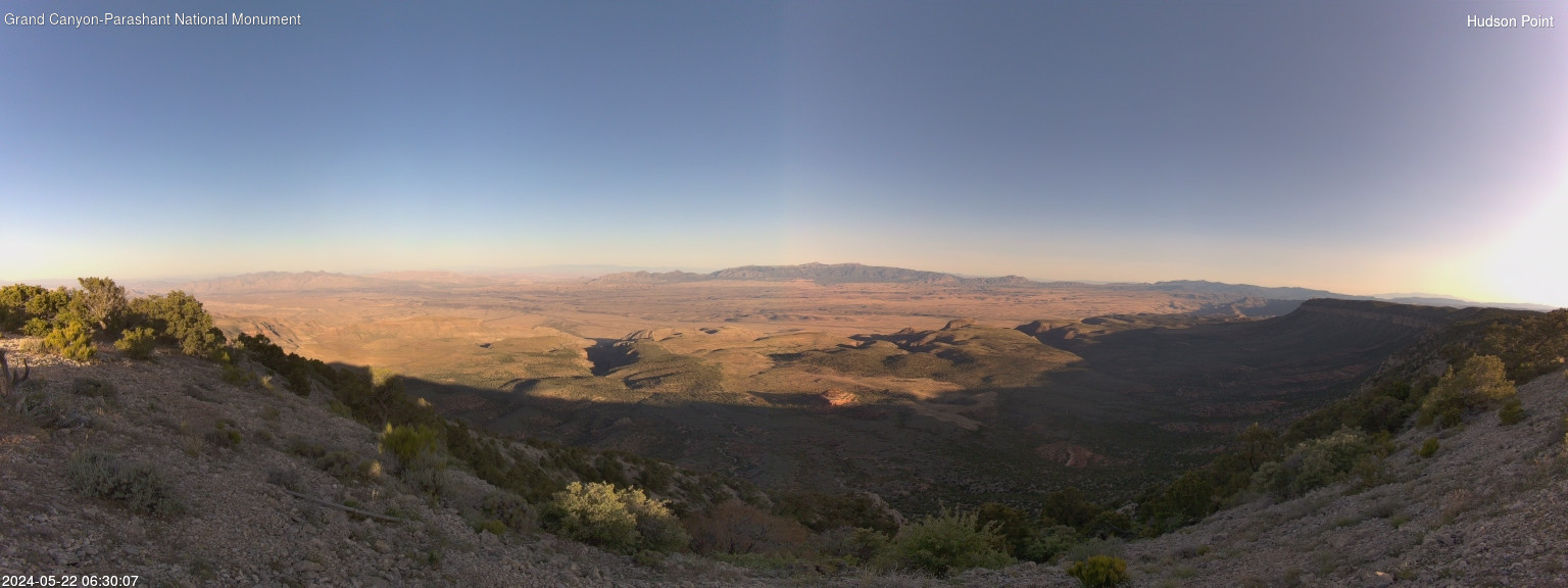
Hudson Point: Elevation: 6,724 feet. View looking west across the Grand Wash Cliffs Wilderness.
National Park ServiceHudson Point

Active

Elevation: 6,724 feet. View looking west across the Grand Wash Cliffs Wilderness.

Open live webcam
Mount Dellenbaugh North Vista: Elevation: 6,995 feet. North vista from Mount Dellenbaugh.
National Park ServiceMount Dellenbaugh North Vista

Active

Elevation: 6,995 feet. North vista from Mount Dellenbaugh.

Open live webcam
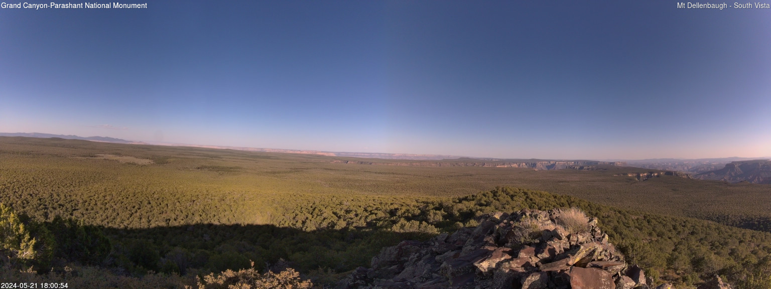
Mount Dellenbaugh South Vista: Elevation: 6,995 feet. South vista from Mount Dellenbaugh.
National Park ServiceMount Dellenbaugh South Vista

Active

Elevation: 6,995 feet. South vista from Mount Dellenbaugh.

Open live webcam
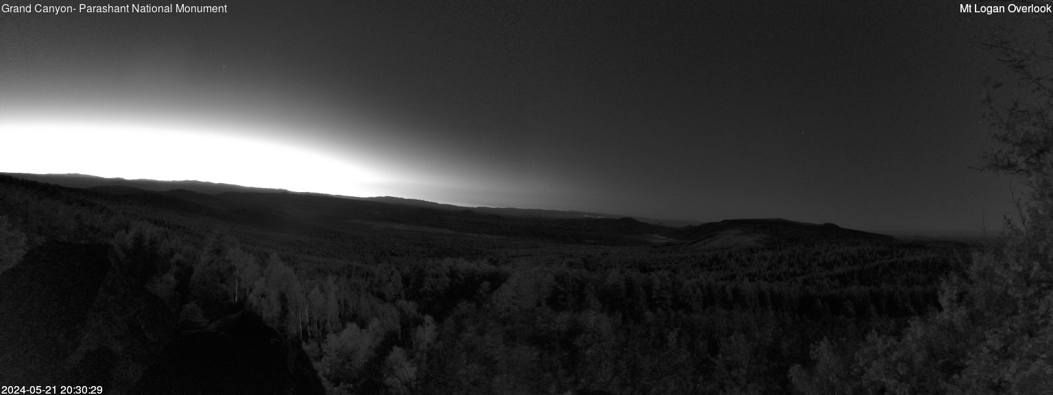
Elevation: 7,835 feet. View from Mount Logan Overlook.
National Park ServiceMount Logan Overlook

Active

Elevation: 7,835 feet. View from Mount Logan Overlook.

Open live webcam
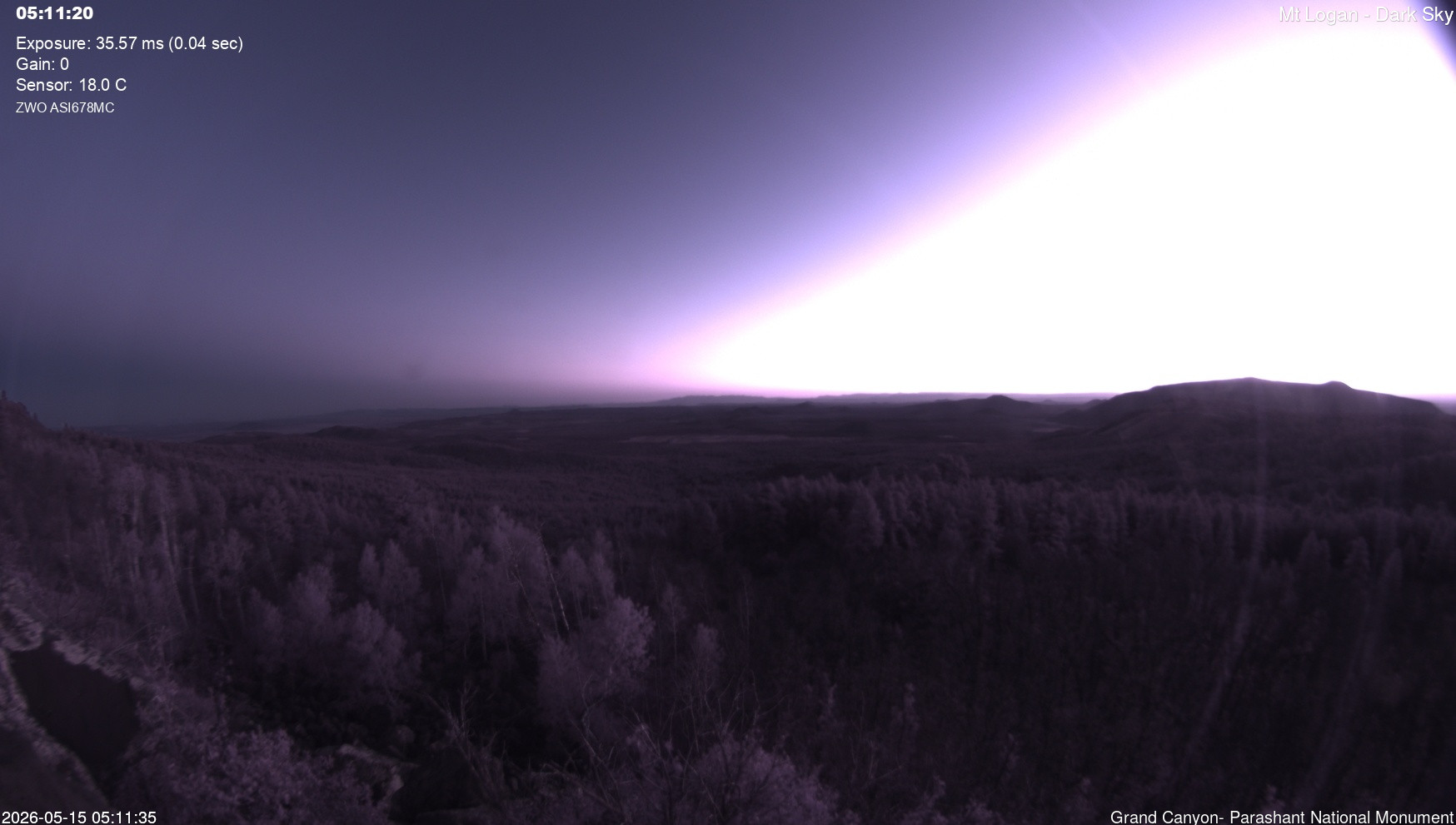
Mount Logan Dark Sky: Elevation: 7,835 feet. Dark sky view from Mount Logan.
National Park ServiceMount Logan Dark Sky

Active

Elevation: 7,835 feet. Dark sky view from Mount Logan.

Open live webcam
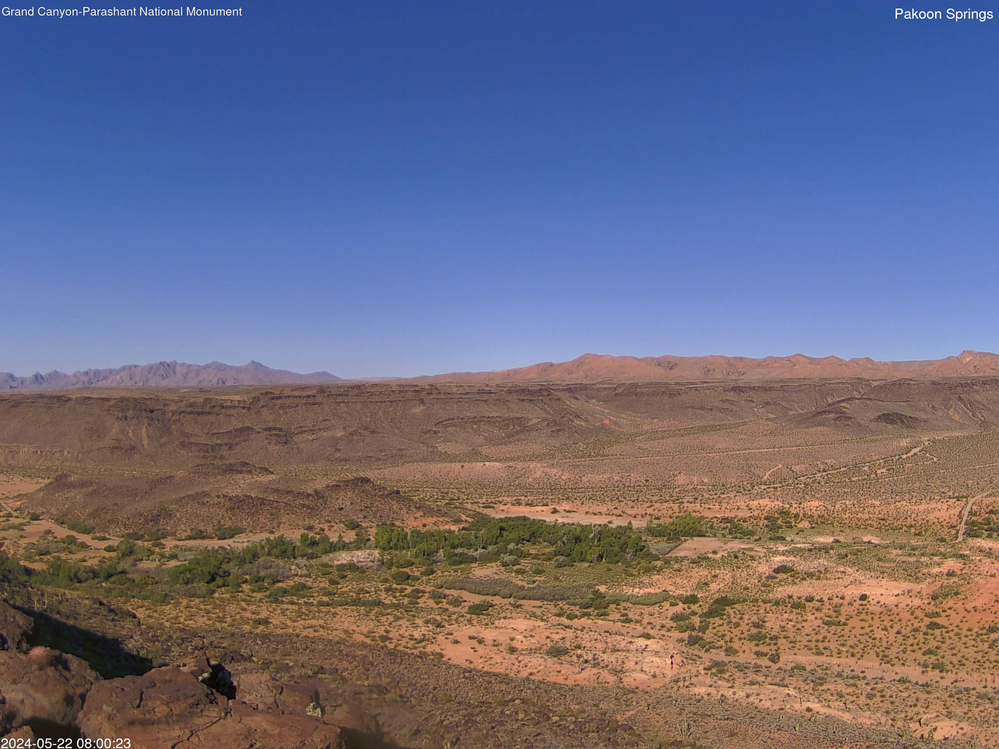
Pakoon Springs: Elevation: 2,290 feet. View of the Pakoon Basin looking west.
National Park ServicePakoon Springs

Active

Elevation: 2,290 feet. View of the Pakoon Basin looking west.

Open live webcam
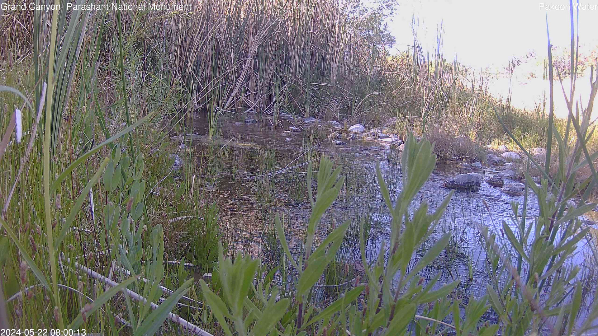
Pakoon Springs Stream View: Elevation: 2,290 feet. Closeup stream view with opportunities to observe bats, frogs, and other wildlife.
National Park ServicePakoon Springs Stream View

Active

Elevation: 2,290 feet. Closeup stream view with opportunities to observe bats, frogs, and other wildlife.

Open live webcam
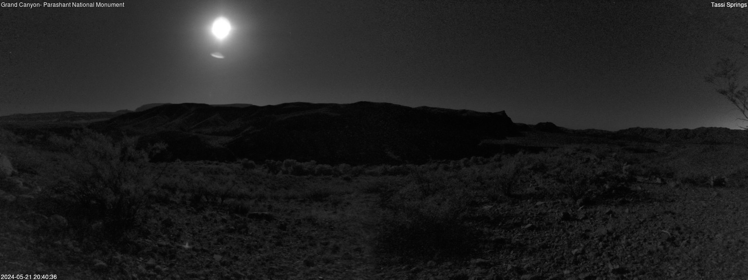
Elevation: 1,535 feet. View from Tassi Springs.
National Park ServiceTassi Springs

Active

Elevation: 1,535 feet. View from Tassi Springs.

Open live webcam
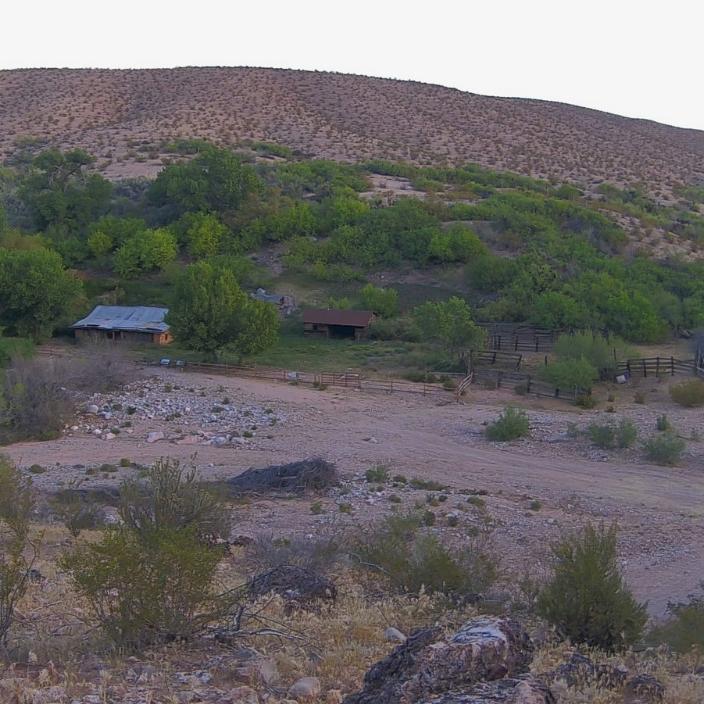
Camera view looks north toward Tassi Ranch.
National Park ServiceTassi Ranch

Active

Camera view looks north toward Tassi Ranch.

Open live webcam
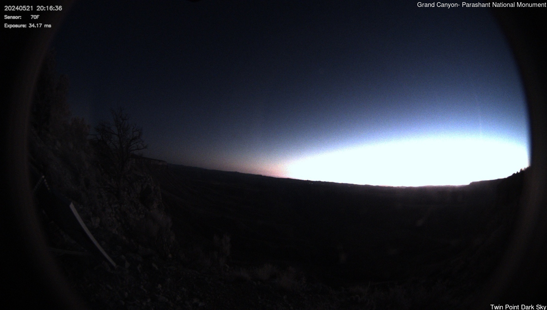
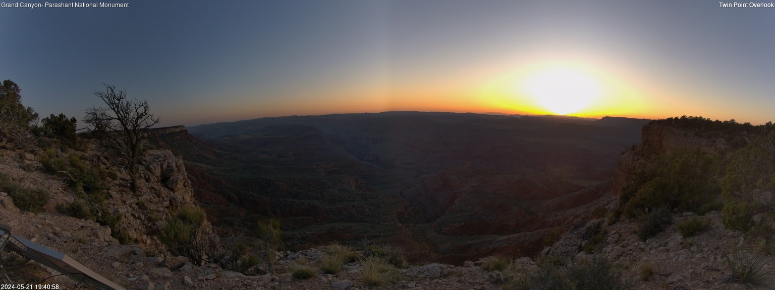
Twin Point Dark Sky: Elevation: 5,702 feet. Dark sky view from Twin Point.
National Park ServiceTwin Point Dark Sky

Active

Elevation: 5,702 feet. Dark sky view from Twin Point.

Open live webcam
Twin Point West: Elevation: 5,702 feet. West-facing view from Twin Point.
National Park ServiceTwin Point West

Active

Elevation: 5,702 feet. West-facing view from Twin Point.

Open live webcam
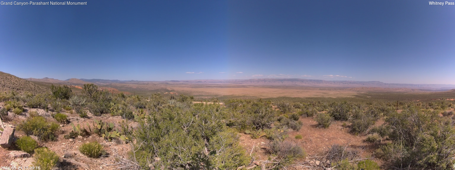
Elevation: 4,146 feet. View from Whitney Pass.
National Park ServiceWhitney Pass

Active

Elevation: 4,146 feet. View from Whitney Pass.

Open live webcam

Current Conditions

Live alerts where available, air quality, and official road status links for Grand Canyon-Parashant National Monument.

Roads Official Status

Use the official park site for road closures, seasonal access, and local travel notices.

Open road conditions

Weather

Next 12 hours Local park time

Loading sunrise and sunset...
Loading hourly forecast...

7 day outlook

Loading forecast...

Introduction

Grand Canyon-Parashant National Monument protects a vast, remote landscape on the northwestern edge of the Grand Canyon. The monument is jointly managed by the National Park Service and the Bureau of Land Management, and it preserves rugged canyon country, volcanic features, desert basins, ponderosa pine highlands, archeological sites, historic ranching and mining landscapes, and some of the darkest night skies in the region.

Parashant is not a quick roadside stop. There are no paved roads, no developed visitor facilities inside the monument, very limited services nearby, and little to no cell service across most of the backcountry. That remoteness is exactly what makes the area special, but visitors need a high-clearance vehicle, careful route planning, water, food, recovery gear, and a realistic understanding of road and weather conditions.

For more background, visit the Wikipedia page.

Scenic Drives and Viewpoints

Parashant is best known for hundreds of miles of backcountry roads leading to remote viewpoints, historic sites, springs, and canyon country. Popular routes and destinations include the Mt. Trumbull Scenic Loop, Twin Point Scenic Grand Canyon Overlook, Pakoon Springs and Tassi Ranch, Grand Gulch Mine, Whitmore Canyon Overlook, Tweeds Point, Kelly Point, Snap Point, and the Parashant Canyon route toward Copper Mountain Mine.

Road conditions vary widely. Some routes are usually suitable for high-clearance four-wheel-drive vehicles, while others require very high clearance 4x4s or UTVs. Rain, snow, ice, deep sand, sharp rock, clay mud, and washed-out crossings can quickly change what is passable. Visitors should read the NPS road descriptions and safety guidance before choosing a route.

Top Hikes

These three hikes are good starting points for planning, with at least one more difficult option. Distances and elevation gain are rounded; check the official park trail page for current closures, permits, weather, and trail conditions.

Nampaweap Petroglyph Trail (easy) - 1.5 miles (2.4 km); elevation gain 200 feet (61 m). A remote cultural-site walk that requires careful backcountry driving preparation.

Mount Trumbull Trail (difficult) - 5.0 miles (8.0 km); elevation gain 1,500 feet (457 m). A forested Arizona Strip summit hike with a remote approach.

Mount Bangs Summit Trail (difficult) - 5.0 miles (8.0 km); elevation gain 1,692 feet (516 m). A strenuous BLM route linked from NPS hiking information with broad backcountry views.

Camping

There are no designated campgrounds in Grand Canyon-Parashant National Monument. Backcountry camping is dispersed and requires careful site selection to protect fragile desert and mountain ecosystems. Campers should use durable surfaces, stay out of washes and drainages, avoid cryptobiotic soil crusts, follow fire restrictions, and bring enough water and supplies to be fully self-contained.

Dark Skies

Parashant's isolation makes it one of the best places in the region for dark sky viewing. On clear moonless nights, the monument offers wide-open views of the Milky Way and a night sky that is difficult to experience near cities. Several NPS webcams also include dark-sky views, making the page useful even for visitors who are not able to reach the monument in person.

Safety

Grand Canyon-Parashant is one of the most remote public land experiences in the lower 48 states. Visitors should tell someone where they are going, carry a satellite messenger or other emergency communication device, bring extra food and water, and expect rescue to take many hours if something goes wrong. NPS recommends rugged tires, and two spare tires are wise because sharp volcanic and limestone roads can damage sidewalls.

Summer heat can be extreme in the lower desert areas, while winter roads above 5,000 feet may become impassible with snow, ice, or mud. Monsoon storms can arrive quickly from June through September and can turn washes and clay roads dangerous. Never camp or park in a dry wash.

Weather

Weather varies dramatically with elevation. Pakoon and Tassi areas can be hot and dry, while Black Rock Mountain, Mount Logan, and other high-elevation locations may be cooler, windy, snowy, or muddy. The live weather panel on this page is a general planning aid, but visitors should also check current NPS alerts, forecasts, and road guidance before driving into the monument.

Planning answers

Frequently Asked Questions

What is the best time of year to visit Grand Canyon-Parashant National Monument?

The best time to visit Grand Canyon-Parashant National Monument is spring or fall, when desert temperatures are more comfortable and remote roads are less likely to be affected by summer heat or winter storms. Check road conditions carefully before traveling.

What does it cost to enter Grand Canyon-Parashant National Monument, and do I need a pass or permit?

Grand Canyon-Parashant National Monument does not charge a general entrance fee according to the official NPS fees page. Separate costs can still apply for camping, tours, transportation, reservations, parking, or other activities. Remote travel requires careful road, weather, and backcountry planning.

Why might a Grand Canyon-Parashant National Monument webcam be unavailable?

Park webcams can go offline because of weather, seasonal closures, maintenance, power issues, network outages, or camera provider changes.

Where can I confirm official Grand Canyon-Parashant National Monument conditions?

Use this page as a quick webcam and planning hub, then confirm closures, alerts, road status, permits, and current conditions with the official National Park Service page for Grand Canyon-Parashant National Monument.