
![Halemaʻumaʻu crater from the east rim and down-dropped block [V2cam] webcam at Hawaii Volcanoes National Park, United States. Use this view for volcanic or geothermal activity...](https://volcanoes.usgs.gov/cams/V2cam/images/M.jpg)
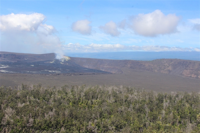
![Kīlauea's upper Southwest Rift Zone, looking northwest [MITDcam] webcam at Hawaii Volcanoes National Park, United States. Use this view for current scenery and local...](https://volcanoes.usgs.gov/cams/MITDcam/images/M.jpg)
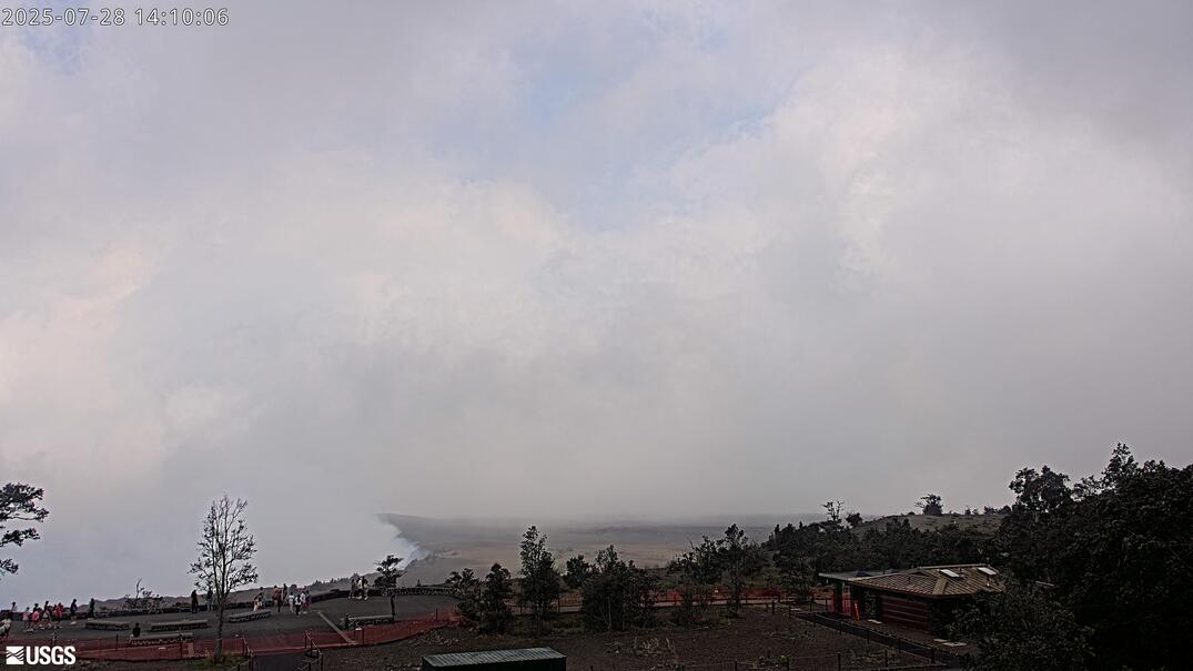
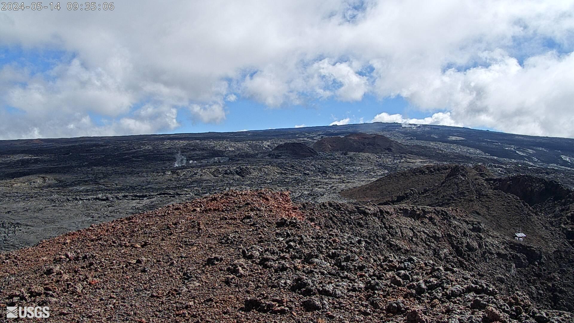
![Mauna Loa's Summit and Northeast Rift Zone from Mauna Kea [MKcam] webcam at Hawaii Volcanoes National Park, United States. Use this view for mountain weather, snow, and...](https://volcanoes.usgs.gov/observatories/hvo/cams/MKcam/images/M.jpg)
![Maunaulu [MUcam] webcam at Hawaii Volcanoes National Park, United States. Use this view for current scenery and local conditions. Current image from Maunaulu Cam [MUcam]. Check...](https://volcanoes.usgs.gov/observatories/hvo/cams/MUcam/images/M.jpg)
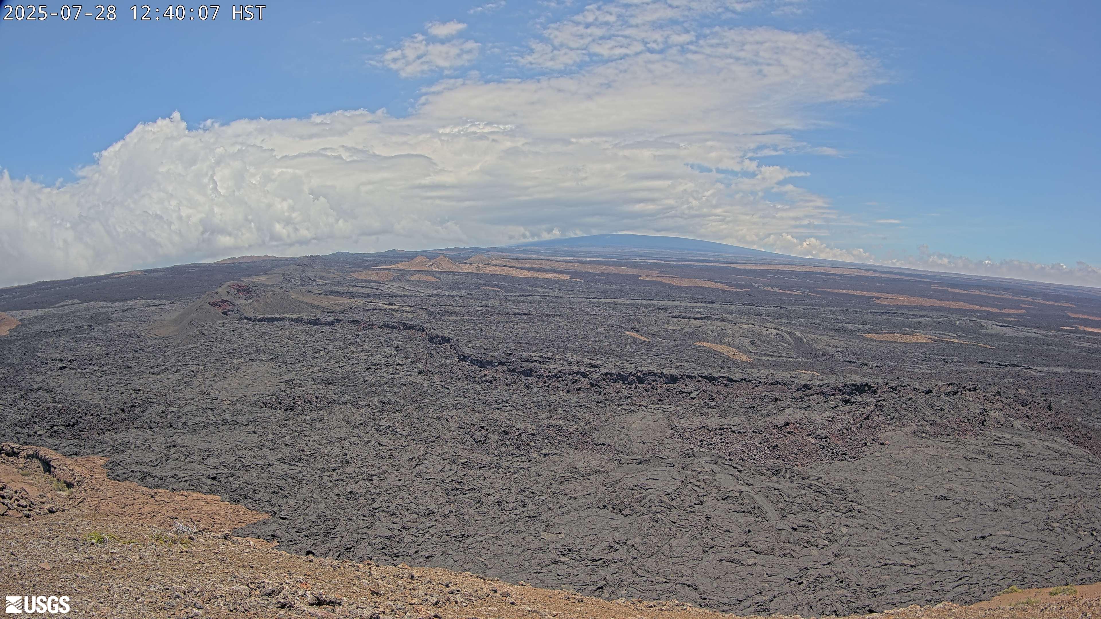
![Mokuʻāweoweo Caldera Thermal [MTcam] webcam at Hawaii Volcanoes National Park, United States. Use this view for current scenery and local conditions. Current image from...](https://volcanoes.usgs.gov/observatories/hvo/cams/MTcam/images/M.jpg)

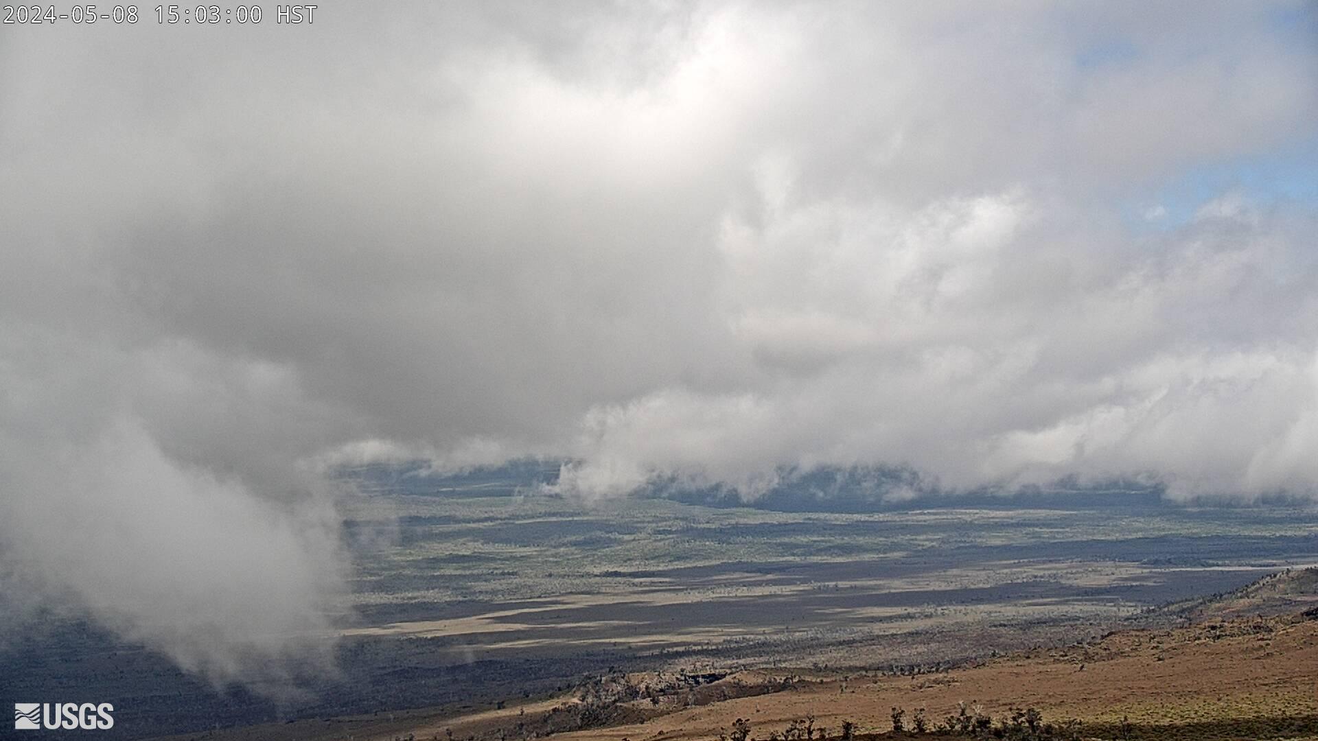


![Puʻuʻōʻō West Flank from Puʻuʻōʻō [PWcam] webcam at Hawaii Volcanoes National Park, United States. Use this view for current scenery and local conditions. Current image from...](https://volcanoes.usgs.gov/observatories/hvo/cams/PWcam/images/M.jpg)
![The Upper Part of Mauna Loa's Southwest Rift Zone [M3cam] webcam at Hawaii Volcanoes National Park, United States. Use this view for current scenery and local conditions...](https://volcanoes.usgs.gov/observatories/hvo/cams/M3cam/images/M.jpg)
![West vent in Halemaʻumaʻu and lava lake - [V1cam] webcam at Hawaii Volcanoes National Park, United States. Use this view for volcanic or geothermal activity and visibility...](https://volcanoes.usgs.gov/observatories/hvo/cams/V1cam/images/M.jpg)
Introduction
Hawai‘i Volcanoes National Park, established on August 1, 1916, is located on the island of Hawai‘i (often referred to as the Big Island). It was originally known as Hawaii National Park until it was split into two separate parks, with Haleakalā National Park on Maui. The park's outstanding natural values led to its designation as an International Biosphere Reserve in 1980 and a World Heritage Site in 1987. The park covers 344,812 acres (approximately 1,395.40 square km). From sea level to the summit of the Earth's most massive active volcano, Mauna Loa, at 13,679 feet (about 4,169 m), it encompasses diverse environments.
NPS Stats 2025 recorded 1,877,854 recreation visits. The park's popularity stems from its dramatic volcanic landscapes and the chance to witness the often-crowded summit of Kīlauea. However, lesser-known areas like the Kahuku Unit (rich in Hawaiian traditions and ranching history) and Puʻukoholā Heiau National Historic Site (with its massive temple and submerged heiau) offer unique experiences away from the crowds.
For more information, go to the park’s Wikipedia page.
Top Hikes
These three hikes are good starting points for planning, with at least one more difficult option. Distances and elevation gain are rounded; check the official park trail page for current closures, permits, weather, and trail conditions.
Kilauea Iki Trail (moderate) - 3.3 miles (5.3 km); elevation gain 400 feet (122 m). A signature loop across a crater floor and through native forest.
Devastation Trail (easy) - 1.0 mile (1.6 km); elevation gain 50 feet (15 m). A short paved route through a stark volcanic landscape.
Mauna Loa Summit Route (difficult) - 40.0 miles (64.4 km); elevation gain 7,000 feet (2,134 m). A serious high-elevation backcountry route for experienced, prepared hikers.
Strenuous Hike/Backpacking
Permits are required for all back country hikes.
Summit of Mauna Loa. Please, do not under estimate this hike. We have personally been denied, due to the weather and high wind. It is also at a very high altitude. Be ready for lack of oxygen, while having to carry a pack on your shoulders. If all goes well you will reach the summit of one of the largest active volcanoes in the world. It is recommended that you take four days to complete the trek, which entails over 40 miles (64,4 km) of hiking over mostly hard rock at high elevation, gaining over 7,000 feet (2,133 m) along the way. The trailhead for the Mauna Loa Trail is located at the Mauna Loa Lookout picnic area, which is accessible via paved roads. The trail is marked with cairns (stacked rocks) and can be very easy to lose in times of low visibility.
There are two main backcountry sites on Mauna Loa: Puʻuʻulaʻula (Red Hill) Cabin and Mauna Loa Summit Cabin. Puʻuʻulaʻula Cabin is situated along the Mauna Loa Trail and is nestled at 10,035 feet (3,059 m) offering a serene view of Mauna Loa. Reservations can be made at the Hawaii State Park. The cabin provides basic amenities such as a sheltered space, sleeping quarters, a cooking area, and a pit toilet. Water is available at the cabin, but must be treated before drinking. Mauna Loa Summit Cabin is situated along the Mauna Loa Trail, reachable by the ʻĀinapō Trail and Kapāpala Ranch. The cabin provides basic amenities such as a sheltered space, sleeping quarters, a cooking area, and a pit toilet.
The Nāpau Crater via Napau Trail is a 11.8 mile (19 km) round-trip hike in Hawaii Volcanoes National Park that has an elevation gain of 2,112 feet (644 m). The trailhead is located at the end of Chain of Craters Road. The trail takes you through a variety of terrains, including lava fields, rainforests, and the Nāpau Crater. NPS notes that most of the campsites and pit toilet near Nāpau were covered by lava in the September 2024 eruption, but a limited campsite is available near the overlook. Stays are limited to 3 consecutive nights and a backcountry permit is required.
Campgrounds
Hawaii Volcanoes National Park has four camping entries visitors commonly plan around: two drive-in campgrounds, Nāmakanipaio and Kulanaokuaiki, plus the Nāpau and Pepeiao backcountry camping destinations listed in NPS backcountry guidance. For current closures, fees, reservations, permits, and backcountry rules, check the NPS campground page and Backcountry Hiking page before you go.
Nāmakanipaio Campground is operated by Hawai'i Volcanoes Lodge Company and is located 31.5 miles (50.7 km) south of Hilo on Highway-11 at 4,000'(1,219 m) elevation. It is a large, open grassy area with tall eucalyptus and'ōhi'a trees. There are 16 tent sites. The campground has restrooms, water, picnic tables, and barbecue pits. Campfires are permitted in the barbecue pits only. Maximum stay is 7 days.
Kulanaokuaiki Campground is located about 5 miles (8 km) down the Hilina Pali Road at 2,700'(823 m) elevation. The nine designated campsites at Kulanaokuaiki have picnic tables and tent pads and are available on a first-come basis. There is no water at this location. There is a vault-type toilet (no running water). Checkout time is 11:00 a.m. Fires are not permitted. Maximum stay is 7 days. All sites are first come, first served.
Nāpau backcountry camping is near Nāpau Crater. NPS says most campsites and the pit toilet were covered by lava during the September 2024 eruption, so campsites are limited and hikers must cross new lava flow to reach the overlook. A backcountry permit is required.
Pepeiao is a remote backcountry camping destination in the southwestern part of the park. NPS says the Pepeiao Cabin is no longer safe for use, so visitors should plan on tent camping. A backcountry permit is required, campers may stay a maximum of 3 consecutive nights, and the site is for experienced, well-equipped wilderness travelers.
Lodging
Volcano House is the historic hotel located within Hawaii Volcanoes National Park, on the edge of the Kīlauea crater. It is the oldest hotel site on the Big Island of Hawaii, dating back to 1846. Volcano House offers 33 guest rooms, a dining room, a snack bar, a lounge, and a gift shop.
The same Volcano House operator also manages 10 camper cabins and 16 campsites in the nearby Nāmakanipaio Campground. The cabins sleep 4 guests each, and have a picnic table, an outdoor barbecue grill, and an outdoor firepit. Linens are provided, and guests can use the community bathroom with hot showers and toilets. The cabins offer a camping experience without setting up a tent, and are close to the park’s attractions, such as Kīlauea crater and Nāhuku (Thurston Lava Tube).
Reservations can be made through the Volcano House Book Now page.
Driving Tours
A great way to explore the park is by driving along two of the scenic driving tours.
The Crater Rim Drive Tour is a scenic loop around the Kīlauea caldera, one of the most active volcanoes in the world. The tour covers about 11 miles (18 km) and takes about 3 hours to complete, depending on how long you spend at each stop. Here are some of the highlights of the tour:
· Kīlauea Visitor Center is where you can get the latest information on the park, watch a short film, and join ranger-led programs. You can also view exhibits, maps, and models of the volcano.
· Uekahuna offers incredible views of Kaluapele and Mauna Loa.
· Kīlauea Overlook: This is the first stop on the tour, and it offers a panoramic view of the Kīlauea caldera and the Halemaʻumaʻu crater. You can also see the plume of gas and steam rising from the crater, which is a sign of the ongoing eruption.
· Wahinekapu Steam Vents and Sulphur Banks are two the next two stops where you can see the effects of the heat and gas from the volcano. Both areas have boardwalks and interpretive signs for visitors.
· Kīlauea Iki Overlook and Trail allows a view of the lava fountains and lake formed in 1959. This is also the trailhead of the most popular hikes in the park, as it takes you across the floor of a crater. The hike is about 4 miles (6.4 km) long and takes about 2 to 3 hours to complete.
· Nāhuku (Thurston Lava Tube): This is a natural tunnel formed by lava flowing underground. The tube is about 500 feet (152 m) long and 20 feet (6 m) high, and it is lit by electric lights. You can walk through the tube and experience the dark and cool environment. The tube is accessible by a short walk from the parking lot, which also passes through a lush fern forest.
· Puʻu Puaʻi Overlook and Devastation Trail: This is where you can see the aftermath of the 1959 eruption that created the Kīlauea Iki crater. The overlook offers a view of the Puʻu Puaʻi cinder cone, which was the source of the eruption, and the surrounding area that was covered by ash and cinders. The Devastation Trail is a 0.5 mile (0.8 km) paved path that takes you through the barren landscape, where you can see how plants and animals are slowly recovering.
· Keanakākoʻi Crater is another crater that was formed by the 1959 eruption, and it is still active today. You can see the crater from a small parking lot, or you can walk along a 0.8 mile (1.3 km) dirt road that circles the crater. Along the way, you can see cracks, fissures, and lava flows from recent eruptions. You can also see the remains of an old observatory that was destroyed by lava in 1982.
Chain of Craters Road was built in 1928 at a cost of $148,000, it ended at the rim of Makaopuhi Crater. Chain of Craters Road to the coast (to Kalapana) from Makaopuhi was opened in 1965, and then partly buried in 1969 at the start of the Maunaulu eruption. Post-Maunaulu eruption, Chain of Craters Road was realigned and reopened in June 1979. The road is 18.8 miles (30.3 km) long. Stops include:
· Luamanu, meaning Bird Crater. Great place to stop and see the lava flow from 1974.
· Puhimau Crater. A pit crater.
· Pauahi Crater has hosted three eruptions.
· Puʻuhuluhulu cinder cone provide views of the Maunaulu lava shield and lava flows from the 1969-1974 eruption.
· Mau Loa o Maunaulu. View of lava flows from the 1969-1974 eruption.
· Muliwai a Pele provides a view of a lava channel.
· Kealakomo Overlook has a beautiful view of the ocean and lava plains.
· Alanui Kahiko offers a view of the old Chain of Craters road.
· Pu’uloa Petroglyphs is a sacred site offering petroglyphs.
· Holei Sea Arch is a great place to see where lava from eruptions enter the sea.
Biking
Biking in Hawai‘i Volcanoes National Park offers adventurous cyclists dramatic views of volcanic landscapes. To protect the fragile lava features, rare plants, and archaeological sites, it's essential to ride only on designated bike routes. For more information, visit the NPS bicycling page. Here are the locations where you can enjoy biking within the park:
1. Crater Rim Drive: Explore this scenic route that encircles the summit caldera of Kīlauea volcano.
2. Chain of Craters Road: Ride along this road that descends from the summit area to the coast, passing through diverse volcanic terrain.
3. All paved roads open to vehicles in the Kīlauea District and Kahuku Unit: These areas are accessible for biking.
4. Paved portions of Crater Rim Trail between Kilauea Military Camp and Kilauea Overlook: Enjoy stunning vistas along this trail.
5. The “Escape Road”: Connects Crater Rim Drive and Highway 11 to access Chain of Craters Road at Maunaulu.
6. Old Crater Rim Drive between Chain of Craters Road intersection and Keanakāko‘i Crater: A historic route.
7. Gravel portion of the Chain of Craters-Kalapana Road: Recommended for experienced bikers; it runs along the coast.
8. Crater Rim Trail between Volcano House and the Resource Management road: Take in the beauty of upcountry Maui.
9. Mauna Loa Stable Service Road: Start on the Tree Molds Road.
10. Fuel break road: Branches east from the stable service road and ends at the Volcano Winery fence. The section branching west ends at the Kīpukapuaulu Picnic Area.
11. Kahuku Unit: Explore Kahuku Road from Highway 11 to the upper junction of Palm Trail, Palm Trail, and Old Mamalahoa Highway spur road.