

Isle Royale National Park Webcams

View live Isle Royale National Park webcams from Mount Ojibway, Rock Harbor, Windigo, Mott Island, Tobin Harbor, and Lake Superior to check island views, weather, and boating conditions.

Live Cams & Maps

The Isle Royale National Park webcams include Greenstone Ridge Northeast Webcam, Greenstone Ridge Southwest Webcam, and Middle Islands Passage Webcam from National Park Service. Check these views with the map and weather before you visit.

Park location
From one of the highest Isle Royale peaks at 1,133 feet above sea level (roughly 530 feet above Lake Superior), the Greenstone Ridge Northeast Webcam, located at the peak of...
National Park ServiceGreenstone Ridge Northeast Webcam

Active

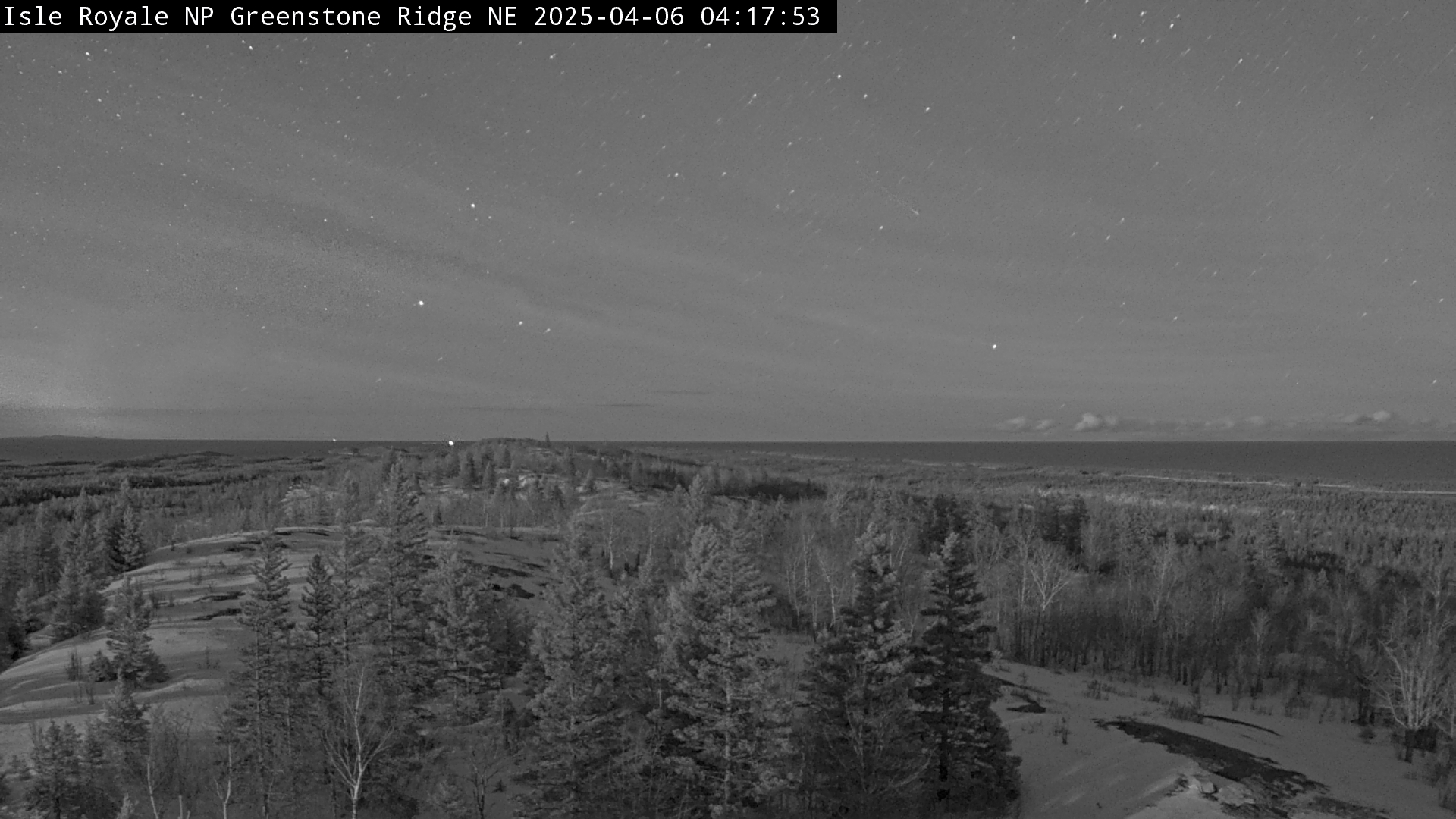
From one of the highest Isle Royale peaks at 1,133 feet above sea level (roughly 530 feet above Lake Superior), the Greenstone Ridge Northeast Webcam, located at the peak of Mount Ojibway, captures a northeastern vantage point. The angle gazes across the spine of the Greenstone Ridge from Ojibway Tower to Passage Island Lighthouse. The webcam is solar powered and communicates multiple times per day, year-round, when power and communications infrastructure allows.

Open live webcam
From one of the highest Isle Royale peaks at 1,133 feet above sea level (roughly 530 feet above Lake Superior), the Greenstone Ridge Southwest Webcam at the peak of Mount...
National Park ServiceGreenstone Ridge Southwest Webcam

Active

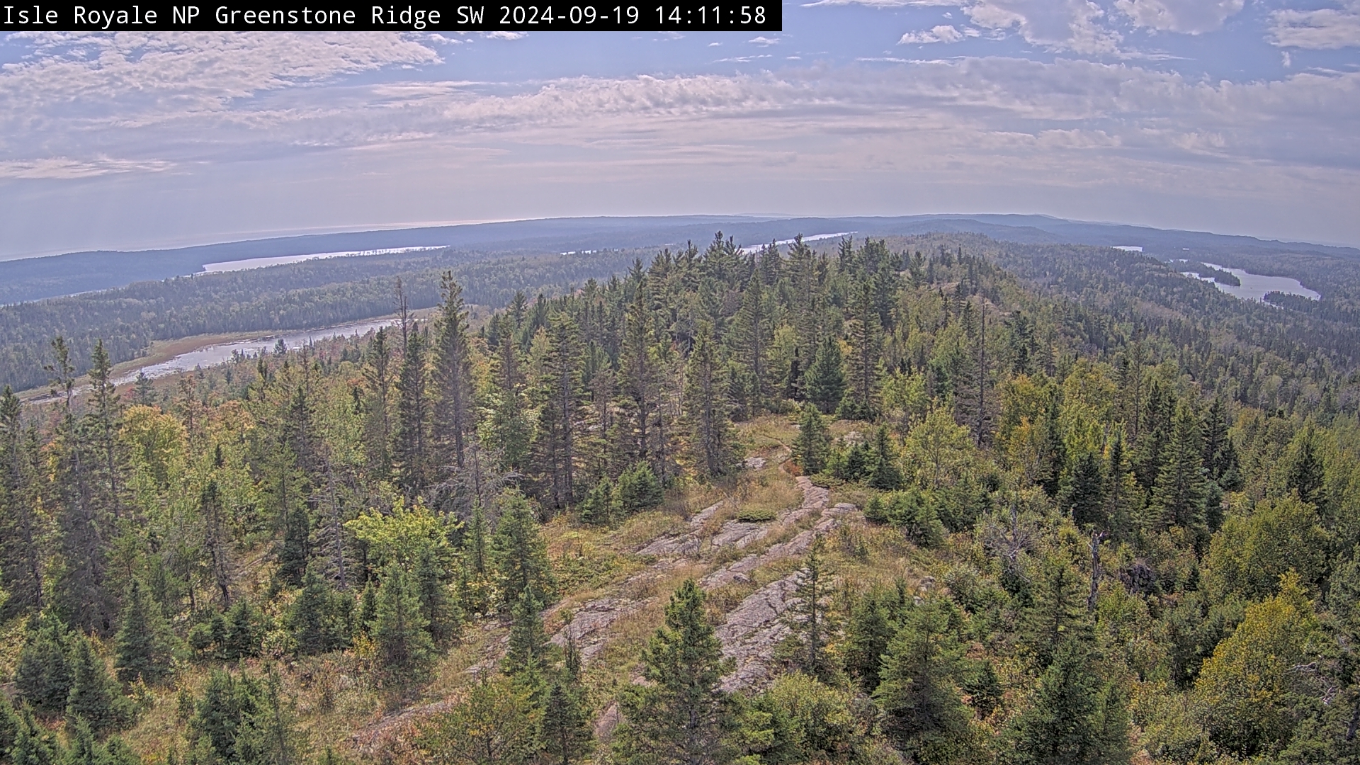
From one of the highest Isle Royale peaks at 1,133 feet above sea level (roughly 530 feet above Lake Superior), the Greenstone Ridge Southwest Webcam at the peak of Mount Ojibway gazes across the spine of the Greenstone Ridge from the Ojibway Tower. It captures a southwest vantage point, a swath from Moskey Basin on the left to Sargent Lake on the right. The webcam is solar powered and communicates multiple times per day, year-round, when power and communications infrastructure allows.

Open live webcam
From one of the highest Isle Royale peaks at 1,133 feet above sea level (roughly 530 feet above Lake Superior), the Middle Islands Passage Webcam, located at the peak of Mount...
National Park ServiceMiddle Islands Passage Webcam

Active

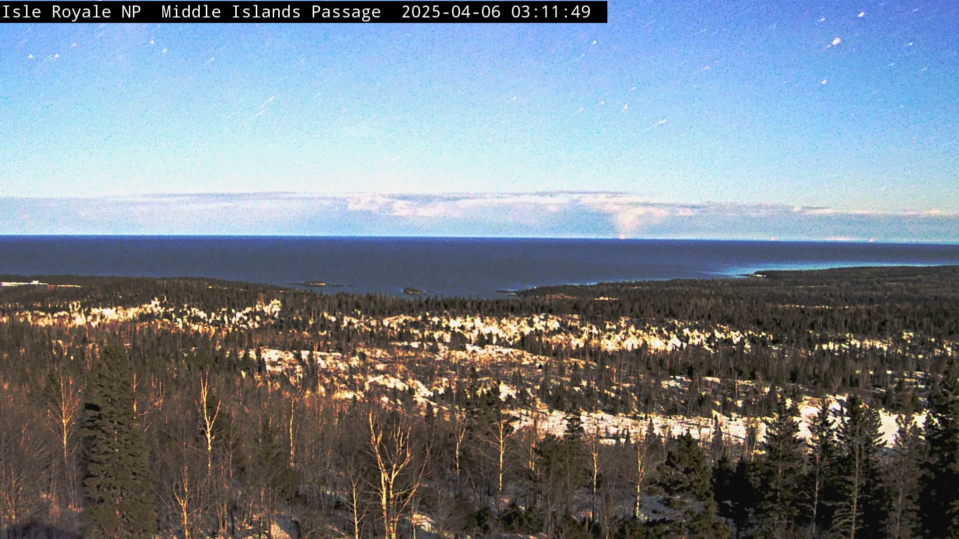
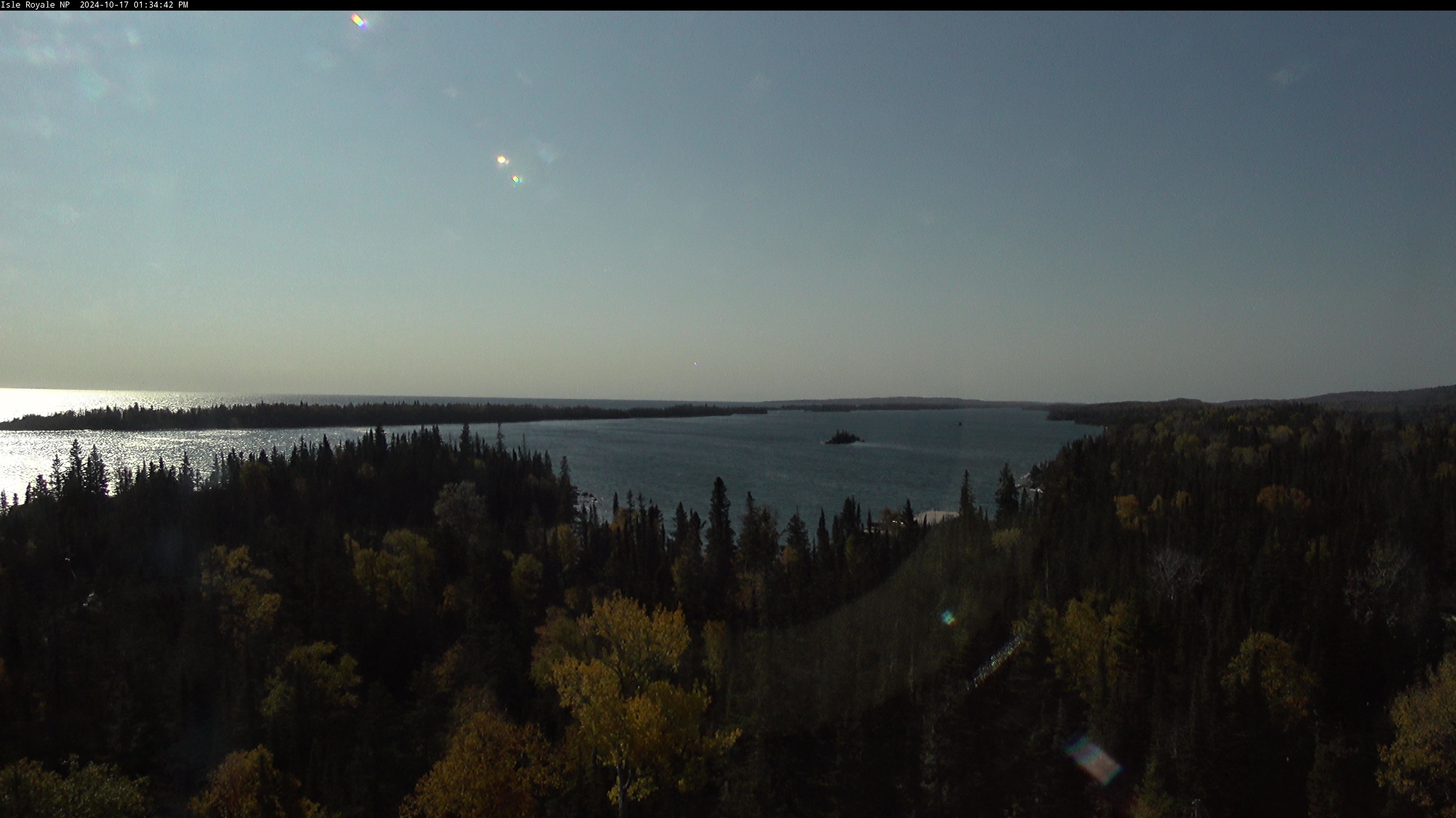
From one of the highest Isle Royale peaks at 1,133 feet above sea level (roughly 530 feet above Lake Superior), the Middle Islands Passage Webcam, located at the peak of Mount Ojibway, captures a southeastern vantage point. The angle offers views of Lake Superior, Caribou Island at left, Middle Islands at center, and the entrance to Moskey Basin, home of Rock Harbor Lighthouse, at right. Middle Islands Passage is the access point for large vessels sailing in and out of Rock Harbor Channel. The webcam is solar powered and communicates multiple times per day, year-round, when power and communications infrastructure allows.

Open live webcam
Mott Island Dock: Mott Island, Isle Royale National Park's summer headquarters, is the nucleus of operations on the island. It is a barrier island located on the south side of...
National Park ServiceMott Island Dock

Active

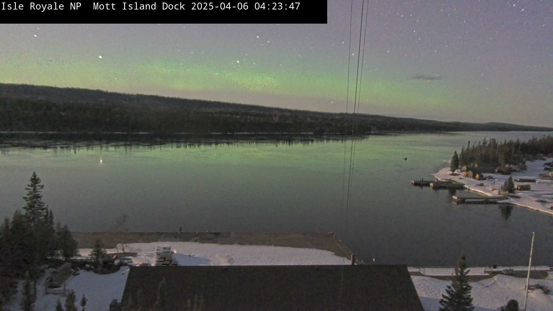
Mott Island, Isle Royale National Park's summer headquarters, is the nucleus of operations on the island. It is a barrier island located on the south side of Rock Harbor Channel. The webcam is active on real-time intervals during the summer months when power is available to it, and communicating multiple times per day during the winter when solar power allows.

Open live webcam
Mott Island Southwest Webcam: Mott Island, Isle Royale National Park's summer headquarters, is the nucleus of operations on the island. It is a barrier island located on the...
National Park ServiceMott Island Southwest Webcam

Active

Mott Island, Isle Royale National Park's summer headquarters, is the nucleus of operations on the island. It is a barrier island located on the south side of Rock Harbor Channel. The webcam is active on real-time intervals during the summer months when power is available to it, and communicating multiple times per day during the winter when solar power allows.

Open live webcam
From one of the highest Isle Royale peaks at 1,133 feet above sea level (roughly 530 feet above Lake Superior), the North Shore Webcam, located at the peak of Mount Ojibway...
National Park ServiceNorth Shore Webcam

Active

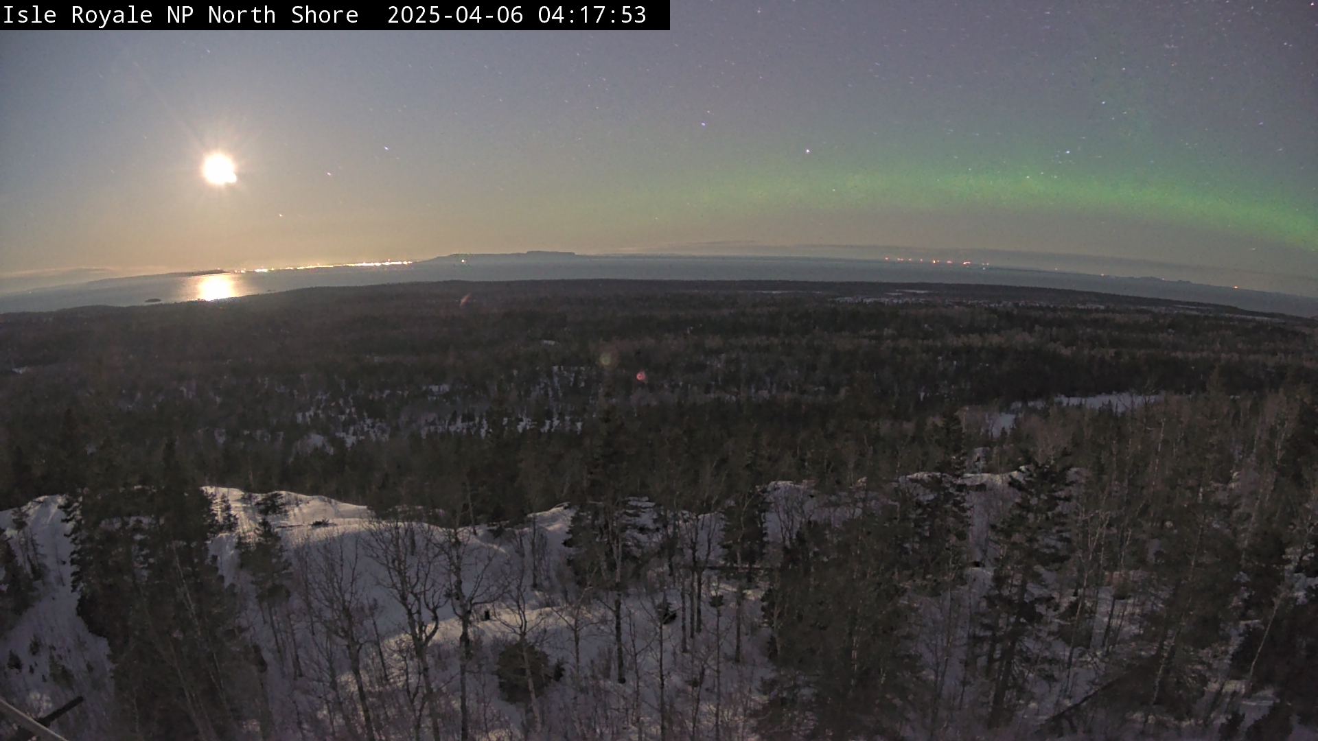
From one of the highest Isle Royale peaks at 1,133 feet above sea level (roughly 530 feet above Lake Superior), the North Shore Webcam, located at the peak of Mount Ojibway, captures a northern vantage point. The angle offers views of Lake Superior, Canada's Pie Island on the left, and Canada's Sleeping Giant Provincial Park at center. The webcam is solar powered and communicates multiple times per day, year-round, when power and communications infrastructure allows.

Open live webcam
Rock Harbor Webcam: Overlooking the Visitor Center and RANGER III dock at Snug Harbor, this camera view provides a vantage point to view the various small islands scattered...
National Park ServiceRock Harbor Webcam

Active

Overlooking the Visitor Center and RANGER III dock at Snug Harbor, this camera view provides a vantage point to view the various small islands scattered about the Rock Harbor channel. On a clear day, the water tower at Mott Island is visible and the heights of Mount Saginaw tower in the background. The webcam is active only during the summer months when power is available to it (typically from the beginning of May until late September).

Open live webcam
Smithwick Channel Webcam: Smithwick Channel is a small break in Isle Royale's barrier islands that allows safe passage from Lake Superior into Rock Harbor Channel. Raspberry...
National Park ServiceSmithwick Channel Webcam

Active

Smithwick Channel is a small break in Isle Royale's barrier islands that allows safe passage from Lake Superior into Rock Harbor Channel. Raspberry Island can be seen to the left of the view, and Smithwick Island is to the right. This passage is used by many, but perhaps most frequently by the ISLE ROYALE QUEEN IV passenger ferry out of Copper Harbor, MI to travel to and from Rock Harbor. The webcam is solar powered and communicates multiple times per day, year-round, when power and communications infrastructure allows.

Open live webcam
Tobin Harbor Webcam: Tobin Harbor is located on the northeast end of Isle Royale, near Rock Harbor. In the early 20th century, it was a popular summer haven for vacationers...
National Park ServiceTobin Harbor Webcam

Active

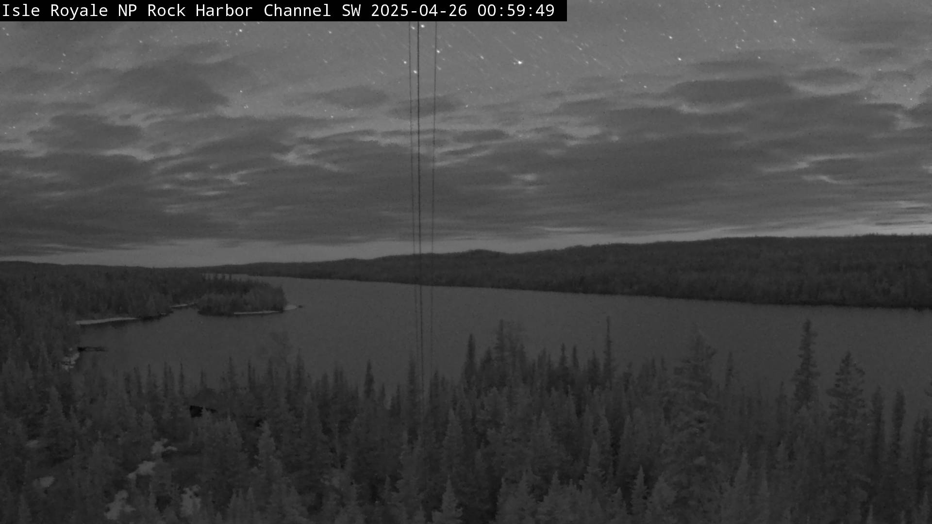
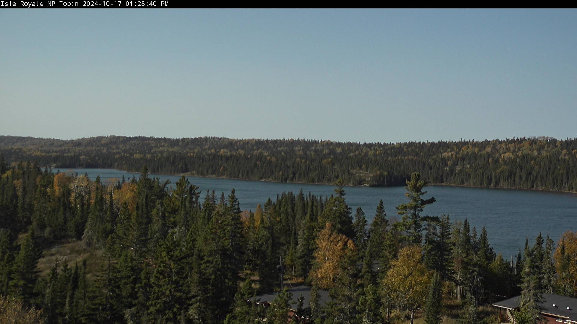
Tobin Harbor is located on the northeast end of Isle Royale, near Rock Harbor. In the early 20th century, it was a popular summer haven for vacationers. Visitors today enjoy the peaceful paddling and boating opportunities it offers. The webcam is active only during the summer months when power is available to it (typically from the beginning of May until late September).

Open live webcam
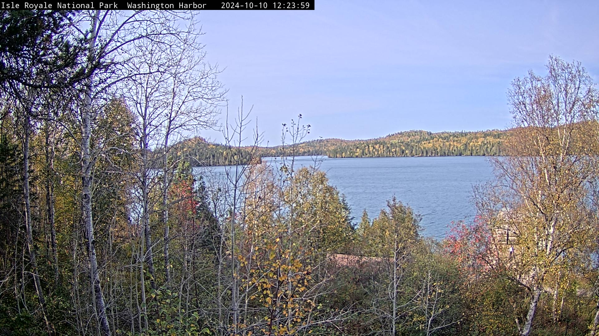
Perched atop the Windigo Visitor Center, the Windigo Webcam offers a sweeping view of Washington Harbor. You might find a moose swimming or foraging through these sheltered...
National Park ServiceWindigo Webcam

Active

Perched atop the Windigo Visitor Center, the Windigo Webcam offers a sweeping view of Washington Harbor. You might find a moose swimming or foraging through these sheltered Lake Superior waters, or catch a colorful sunset in all its brilliance on a late summer night. The webcam is active only during the summer months when power is available to it (typically from the beginning of May until late September).

Open live webcam

Current Conditions

Live alerts where available, air quality, and official road status links for Isle Royale National Park.

Roads Official Status

Use the official park site for road closures, seasonal access, and local travel notices.

Open road conditions

Weather

Next 12 hours Local park time

Loading sunrise and sunset...
Loading hourly forecast...

7 day outlook

Loading forecast...

Introduction

Isle Royale is an isolated American national park situated in the northwest corner of Lake Superior. The park encompasses the main island, Isle Royale, along with over 400 smaller adjacent islands and the surrounding waters. The park covers 894 square miles, with 209 square miles of land and 658 square miles of water. Glaciers shaped Isle Royale's landscape, creating its unique features and geological formations. Indigenous peoples called the island "Minong," which translates to "a good place to get copper." Euro-American miners later established copper mines there in the 1840s. Isle Royale National Park was established in 1940 and designated a wilderness area in 1976 to prevent further development. It is also a UNESCO International Biosphere Reserve and a National Registry of Historic Places site. The park hosts diverse creatures, including wolves, beavers, foxes, snowshoe hares, rodents, and moose.

The park is accessible only by ferry, private boat, or seaplane. Isle Royale is the most remote national park in the contiguous U.S.

IMPORTANT: The park is closed from November 1st to April 15 annually. Please visit the park's Wikipedia page for more information.

Top Hikes

These three hikes are good starting points for planning, with at least one more difficult option. Distances and elevation gain are rounded; check the official park trail page for current closures, permits, weather, and trail conditions.

Stoll Memorial Trail (easy to moderate) - 3.3 miles (5.3 km); elevation gain 160 feet (49 m). A Rock Harbor loop to Scoville Point with shoreline and lake views.

Mount Franklin Trail (difficult) - 10.0 miles (16.1 km); elevation gain 1,000 feet (305 m). A longer climb from Rock Harbor toward Greenstone Ridge views.

Rock Harbor to Three Mile (moderate) - 6.0 miles (9.7 km); elevation gain 500 feet (152 m). A backpacking-route segment that also works as a longer shoreline day hike.

Rock Harbor

The Stoll Memorial Trail, also known as the Scoville Point Trail, is a 3.3 mile (5.3 km) figure-eight loop and captivating hiking route within Isle Royale National Park. The Rock Harbor section begins just past the Rock Harbor Recreation Hall and the Rock Harbor Lodge Ojibway building. The Tobin Harbor section starts at the sign pointing to "Smithwick Mine" behind the Rock Harbor Auditorium.

Suzy's Cave Trail is a 3.8 mile (6.1 km) hike. The trailhead is at The Rock Harbor section and begins just past the Rock Harbor Recreation Hall and the Rock Harbor Lodge Ojibway building. Suzy's Cave features an inland sea arch formed by wave action approximately 4,000 years ago when water levels were higher. Keep an eye out for wildlife, including moose!

Windigo

Minong Ridge Overlook Trail is approximately 6 miles (9.7 km) round trip. It is considered the most challenging day hike in the park.

Grace Creek Overlook Trail is 3.6 miles (5.8 km) roundtrip. Overlook offers scenic views of Grace Creek, Grace Harbor, and Lake Superior. A spur trail off of the Feldtmann Lake Trail leads to the rocky overlook.

Backpacking

IMPORTANT Reminder: Trails are only accessible by boat or seaplane. Also, hikers must register at the self-permit station outside of either visitor center. Be prepared to stay overnight if the weather turns.

The park has 36 campgrounds in three separate areas. Backpackers usually hike 6 to 8 miles (9.6 to 12.9 km) each day between campgrounds. There are stay limits for each campground. Please visit the NPS site for specific length-of-stay rules, and check NPS Backpacking Trips for suggested multi-day routes.

Greenstone Ridge Trail is the island's longest backpacking route, crossing more than 40 miles from Windigo toward the Rock Harbor side of Isle Royale.

Harbor to Hills Loop is an east-end backpacking route that follows Rock Harbor Channel and climbs toward the Greenstone Ridge Trail.

Feldtmann Loop is a southwest Isle Royale backpacking route of roughly 30 miles, using the Feldtmann Lake, Feldtmann Ridge, Island Mine, and Greenstone Ridge trails.

Minong Ridge Trail is a rugged backpacking route of more than 30 miles across the island's most challenging trail corridor.

Rock Harbor

You can access Rock Harbor one of two ways. The Isle Royal Queen IV offers a ferry service. The 3 hour trip departs Cooper Harbor, Michigan at 8:00 AM and leaves at 2:45 PM. The second way is via the Isle Royale Seaplanes. Flights originate at Hancock, Michigan. Visit either site for cost and schedule.

Windigo

You can access Windigo one of two ways. The Sea Hunter III offers a ferry service. The 1.5 hour trip departs Grand Portage, MN at 8: 30 AM C DT and leaves at 2:00 PM CDT. The second way is via the Isle Royale Seaplanes. Flights originate at Hancock, Michigan. Visit either site for cost and schedule.

Boating, Canoeing, Kayaking and Fishing.

Boating

Permits are required in advance for any overnight trips. There are numerous campgrounds available to boaters. For a complete list go to the NPS website.

Canoeing and Kayaking

Please be advised that the waters around the park are known for cold-water, fog, wind and storms. Each person must have a floatation device. A backcountry permit is required for any overnight visits. There are numerous campgrounds available. For a complete list go to the NPS website. Also, for an additional fee, there is services for transporting kayaks and canoes. Reservations can be made at Isle Royale Lodge and Marina.

Fishing

The park is considered an angler's paradise. A Michigan Fishing license is required. Fishing regulations are strictly enforced. For a latest information, go to the NPS Fishing Requlation site.

Lodging

There are three lodging options within the park.

Rock Harbor Lodge is a full-service lodge in Rock Harbor. The lodge offers rooms and cottages. Dining is also available. On-line and phone reservations can be found at the lodge website.

Rock Harbor Lodge in Windigo is a full-service lodge. The lodge offers rooms and cottages. Dining is also available. On-line and phone reservations can be f ou nd at the NPS website

Windigo Camper Cabins are located in Washington Harbor. Each cabin can accommodate up to six people. The cabins offer table and chairs, a futon and bunk beds. There is no electricity. A shared restroom is located outside the cabin.

Restaurants

Rock Harbor Lodge has two restaurants. The Lighthouse Restaurant, which offers to cook caught fish. The Greenstone Grill offers pizza, burgers, sandwiches and fresh salads.

Stores

There are two camp stores in the park. The Rock Harbor and Windigo location offer basic supplies.

Planning answers

Frequently Asked Questions

What is the best time of year to visit Isle Royale National Park?

The best time to visit Isle Royale National Park is June through September, when ferries, seaplanes, campgrounds, and visitor services are operating. July and August are warmest, while September is quieter and can bring cool, changeable weather.

What does it cost to enter Isle Royale National Park, and do I need a pass or permit?

Isle Royale National Park uses a daily entrance fee or Isle Royale annual pass according to the official NPS fees page. America the Beautiful passes are accepted for federal entrance fees, but they do not cover separate reservations, camping, tours, or activity fees. The official fee page notes cashless payment or limited cash acceptance, so bring a credit/debit card or mobile payment option. Ferry, seaplane, boating, camping, and backcountry costs are separate.

Why might an Isle Royale National Park webcam be unavailable?

Park webcams can go offline because of weather, seasonal closures, maintenance, power issues, network outages, or camera provider changes.

Where can I confirm official Isle Royale National Park conditions?

Use this page as a quick webcam and planning hub, then confirm closures, alerts, road status, permits, and current conditions with the official National Park Service page for Isle Royale National Park.