
Introduction
Isle Royale is an isolated American national park situated in the northwest corner of Lake Superior. The park encompasses the main island, Isle Royale, along with over 400 smaller adjacent islands and the surrounding waters. The park covers 894 square miles, with 209 square miles of land and 658 square miles of water. Glaciers shaped Isle Royale's landscape, creating its unique features and geological formations. Indigenous peoples called the island "Minong," which translates to "a good place to get copper." Euro-American miners later established copper mines there in the 1840s. Isle Royale National Park was established in 1940 and designated a wilderness area in 1976 to prevent further development. It is also a UNESCO International Biosphere Reserve and a National Registry of Historic Places site. The park hosts diverse creatures, including wolves, beavers, foxes, snowshoe hares, rodents, and moose.
The park is accessible only by ferry, private boat, or seaplane. Isle Royale is the most remote national park in the contiguous U.S.
IMPORTANT: The park is closed from November 1st to April 15 annually. Please visit the park's Wikipedia page for more information.
Top Hikes
IMPORTANT Reminder: Trails are only accessible by boat or seaplane. Also, hikers must register at the self-permit station outside of either visitor center. Be prepared to stay overnight if the weather turns. For more information on hikes, visit the NPS site.
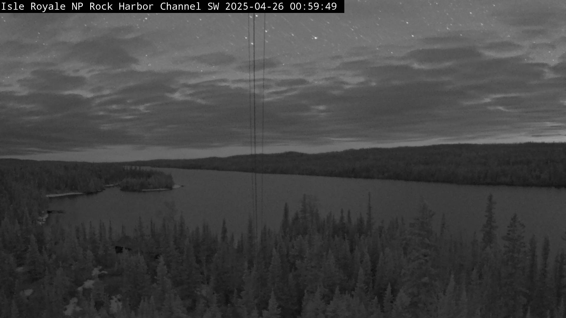
Rock Harbor
The Stoll Memorial Trail, also known as the Scoville Point Trail, is a 3.3 mile (5.3 km) figure-eight loop and captivating hiking route within Isle Royale National Park. The Rock Harbor section begins just past the Rock Harbor Recreation Hall and the Rock Harbor Lodge Ojibway building. The Tobin Harbor section starts at the sign pointing to "Smithwick Mine" behind the Rock Harbor Auditorium.
Suzy's Cave Trail is a 3.8 mile (6.1 km) hike. The trailhead is at The Rock Harbor section and begins just past the Rock Harbor Recreation Hall and the Rock Harbor Lodge Ojibway building. Suzy's Cave features an inland sea arch formed by wave action approximately 4,000 years ago when water levels were higher. Keep an eye out for wildlife, including moose!
Windigo
Minong Ridge Overlook Trail is approximately 6 miles (9.7 km) round trip. It is considered the most challenging day hike in the park.
Grace Creek Overlook Trail is 3.6 miles (5.8 km) roundtrip. Overlook offers scenic views of Grace Creek, Grace Harbor, and Lake Superior. A spur trail off of the Feldtmann Lake Trail leads to the rocky overlook.
Backpacking
IMPORTANT Reminder: Trails are only accessible by boat or seaplane. Also, hikers must register at the self-permit station outside of either visitor center. Be prepared to stay overnight if the weather turns.
The park has 36 campgrounds in three separate areas. Backpackers usually hike 6 to 8 miles (9.6 to 12.9 km) each day between campgrounds. There are stay limits for each campground. Please visit the NPS site for specific length-of-stay rules.
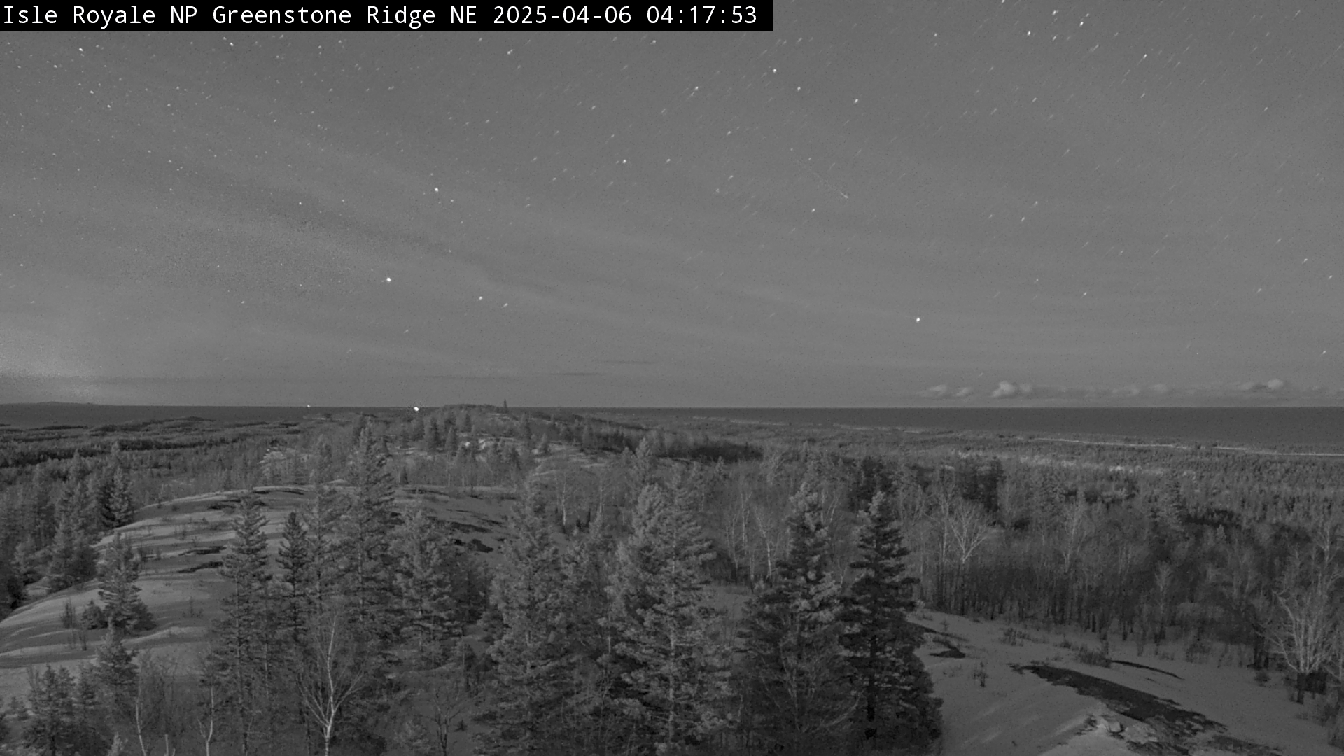
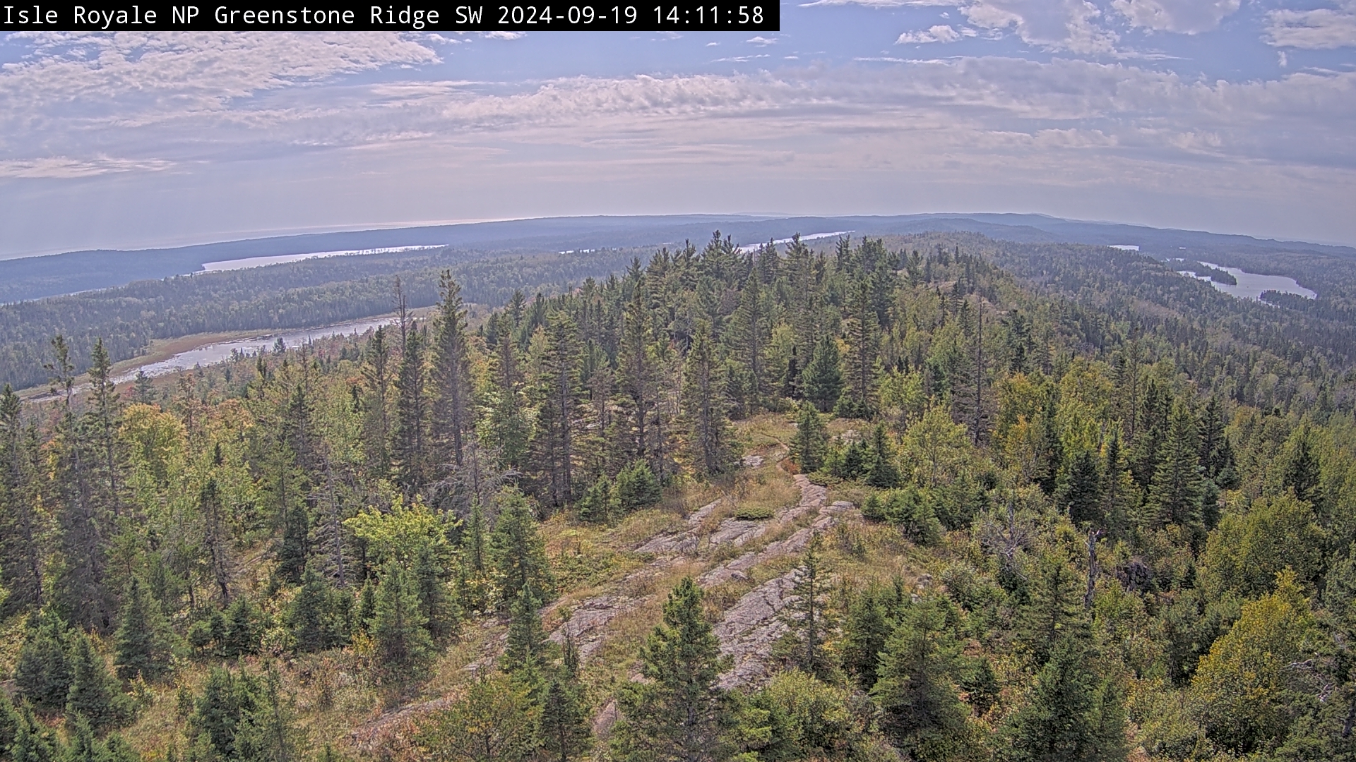
Greenstone Ridge Trail is approximately 41.12 miles (66 km) and spans the island from Windigo to Tobin Harbor. Total elevation gain is 3.235 feet (986 m).
The Greenstone Ridge Trail from Rock Harbor to Windigo is 41.12 miles (66km) and has an elevation gain of 3,854 feet (1174 m).
Isle Royale Trail i s 20 miles (32 km) and has minimal elevation gain.
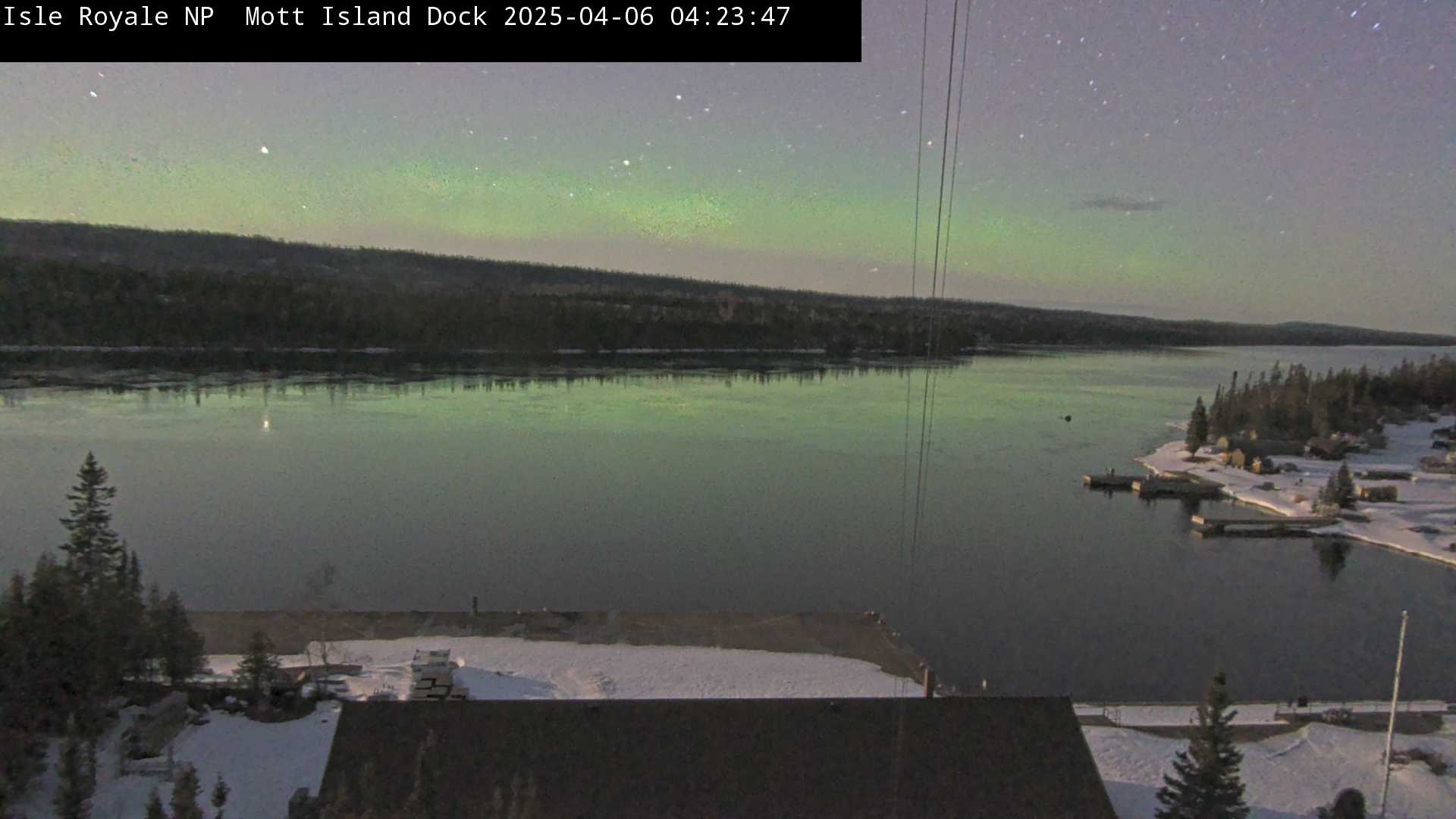
Rock Harbor
You can access Rock Harbor one of two ways. The Isle Royal Queen IV offers a ferry service. The 3 hour trip departs Cooper Harbor, Michigan at 8:00 AM and leaves at 2:45 PM. The second way is via the Isle Royale Seaplanes. Flights originate at Hancock, Michigan. Visit either site for cost and schedule.
Windigo
You can access Windigo one of two ways. The Sea Hunter III offers a ferry service. The 1.5 hour trip departs Grand Portage, MN at 8: 30 AM C DT and leaves at 2:00 PM CDT. The second way is via the Isle Royale Seaplanes. Flights originate at Hancock, Michigan. Visit either site for cost and schedule.
Boating, Canoeing, Kayaking and Fishing.
Boating
Permits are required in advance for any overnight trips. There are numerous campgrounds available to boaters. For a complete list go to the NPS website.
C anoeing and Kayaking
Please be advised that the waters around the park are known for cold-water, fog, wind and storms. Each person must have a floatation device. A backcountry permit is required for any overnight visits. There are numerous campgrounds available. For a complete list go to the NPS website. Also, for an additional fee, there is services for transporting kayaks and canoes. Reservations can be made at Isle Royale Lodge and Marina.
Fishing
The park is considered an angler's paradise. A Michigan Fishing license is required. Fishing regulations are strictly enforced. For a latest information, go to the NPS Fishing Requlation site.
Lodging
There are three lodging options within the park.
Rock Harbor Lodge in Rock Harbor is a full-service lodge in Rock Harbor. The lodge offers rooms and cottages. Dining is also available. On-line and phone reservations can be found at the NPS website
Rock Harbor Lodge in Windigo is a full-service lodge. The lodge offers rooms and cottages. Dining is also available. On-line and phone reservations can be f ou nd at the NPS website
Windigo Camper Cabins are located in Washington Harbor. Each cabin can accommodate up to six people. The cabins offer table and chairs, a futon and bunk beds. There is no electricity. A shared restroom is located outside the cabin.
Restaurants
Rock Harbor Lodge has two restaurants. The Lighthouse Restaurant, which offers to cook caught fish. The Greenstone Grill offers pizza, burgers, sandwiches and fresh salads.
Stores
There are two camp stores in the park. The Rock Harbor and Windigo location offer basic supplies.