
Introduction
Aoraki / Mount Cook National Park protects New Zealand's highest mountain, major glaciers, alpine valleys, braided rivers, ice cliffs, and some of the most dramatic high-country scenery in Aotearoa New Zealand. DOC describes the park as a rugged land of ice and rock, with 19 peaks over 3,000 m / 9,843 ft including Aoraki / Mount Cook.
For broader background on the park's history, geography, and alpine landscape, see the Aoraki / Mount Cook National Park Wikipedia page.
The park is centered around Mount Cook Village, White Horse Hill, Hooker Valley, Tasman Valley, Mueller Glacier, and access to alpine routes that can become serious mountain terrain quickly. Check DOC alerts, the visitor centre, weather, avalanche information, and road conditions before starting walks or climbs.
Top Hikes
The official DOC track pages list current distances, status, hazards, and seasonal notes. Distances and elevation gains below are rounded; alpine weather, snow, ice, wind, and bridge work can change access quickly.
Hooker Valley Track is the classic valley walk toward Aoraki / Mount Cook views. DOC currently lists the track as 4.3 km / 2.7 mi return to Kakiroa / Mount Sefton View Lookout while new bridge work affects the full route. The listed gradient is flat; approximate elevation gain is minimal.
Sealy Tarns Track is the steep stairway above White Horse Hill, with more than 2,200 steps to tarns overlooking Hooker Valley, Mueller Glacier, and the surrounding peaks. The Hermitage lists the route as about 5.8 km / 3.6 mi return with roughly 600 m / 1,970 ft of elevation gain.
Mueller Hut Route is the difficult alpine choice. DOC lists it as 5.2 km / 3.2 mi one way and about 4 hours one way from Aoraki / Mount Cook Village via Sealy Tarns. Approximate elevation gain is about 1,050 m / 3,445 ft. DOC describes this as an advanced tramping route; snow, ice, avalanche terrain, and navigation hazards can require mountaineering skills and equipment.
Camping and Lodging
White Horse Hill Campsite is the main DOC campground at the end of Hooker Valley Road near the Hooker Valley Track, Sealy Tarns Track, Kea Point Track, and Mueller Hut Route. DOC lists campsite fees and notes that bookings are needed before occupying a site.
Mount Cook Village and nearby Lake Pukaki / Glentanner areas have lodges, motels, holiday-park lodging, restaurants, and guided-tour services. For official huts, campsite bookings, alerts, and visitor advice, start with DOC and the Aoraki / Mount Cook National Park Visitor Centre.
Weather and Road Conditions
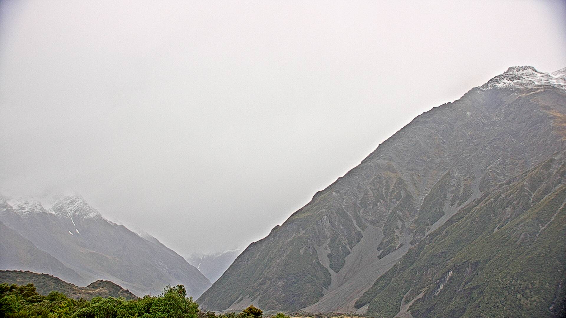
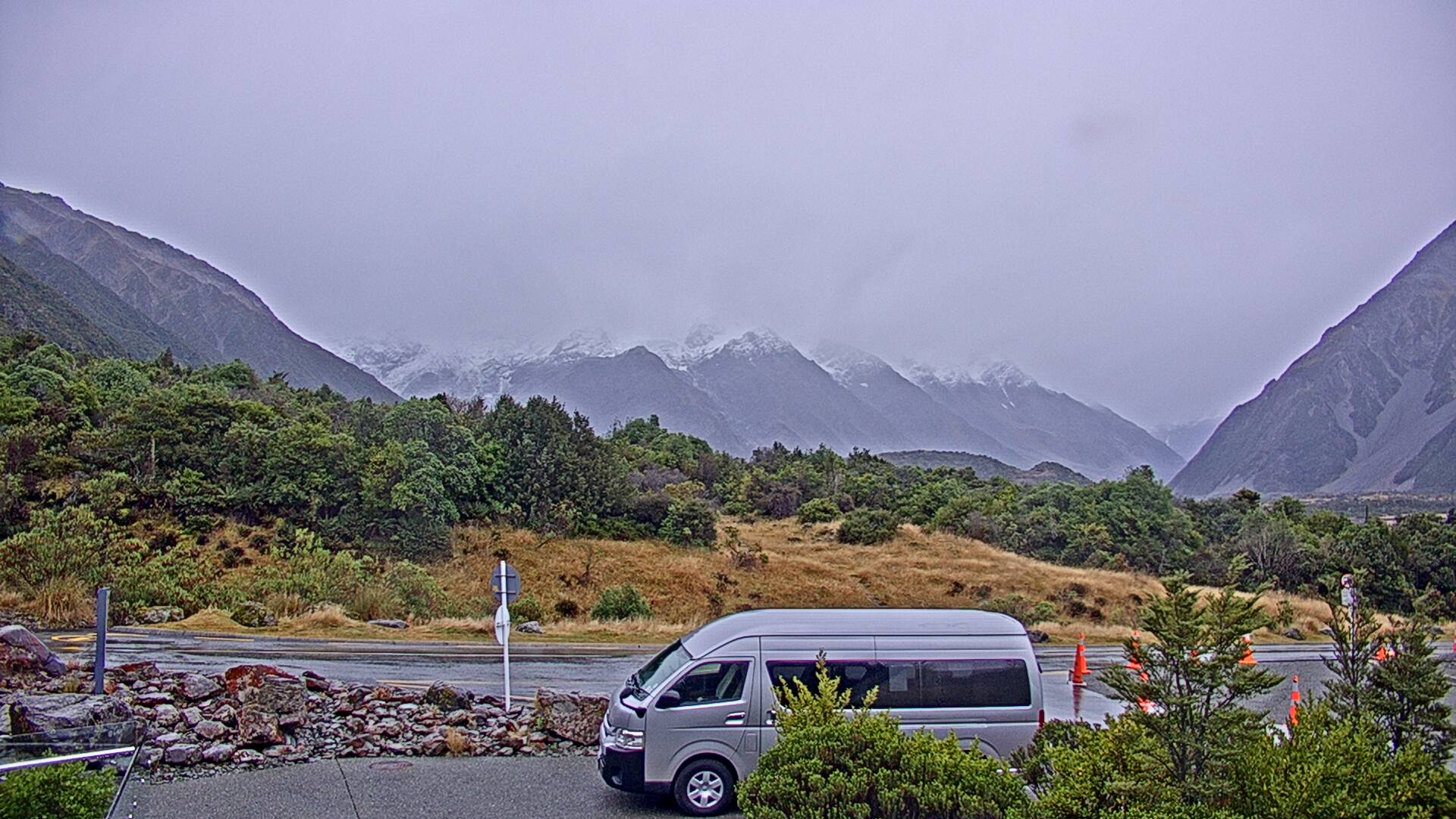
Weather can change very quickly in Aoraki / Mount Cook National Park. The Hermitage webcam page recommends checking MetService for mountain weather and New Zealand Transport Agency / Waka Kotahi for road closures, incidents, and roadworks before traveling.
Webcam Notes
The Aoraki / Mount Cook webcam cards use distinct current image feeds from the Hermitage webcam page in Mount Cook Village. These cameras are useful for checking cloud, snow, visibility, and valley conditions, but they may go offline temporarily because of weather, provider maintenance, daylight, or camera-source changes. The Hermitage also publishes additional hotel-area views on its official webcam page.