
Guadalupe Mountains National Park Webcams

View live Guadalupe Mountains National Park webcams from Pine Springs Canyon, El Capitan, Dog Canyon, and McKittrick Canyon to check West Texas mountain views, weather, and trail conditions.

Live Cams & Maps

The Guadalupe Mountains National Park, United States webcams include Dog Canyon View, El Capitan View, and McKittrick Canyon View from National Park Service. Use these views to check current scenery and local conditions and trail, road, and access conditions before you visit.

Park location
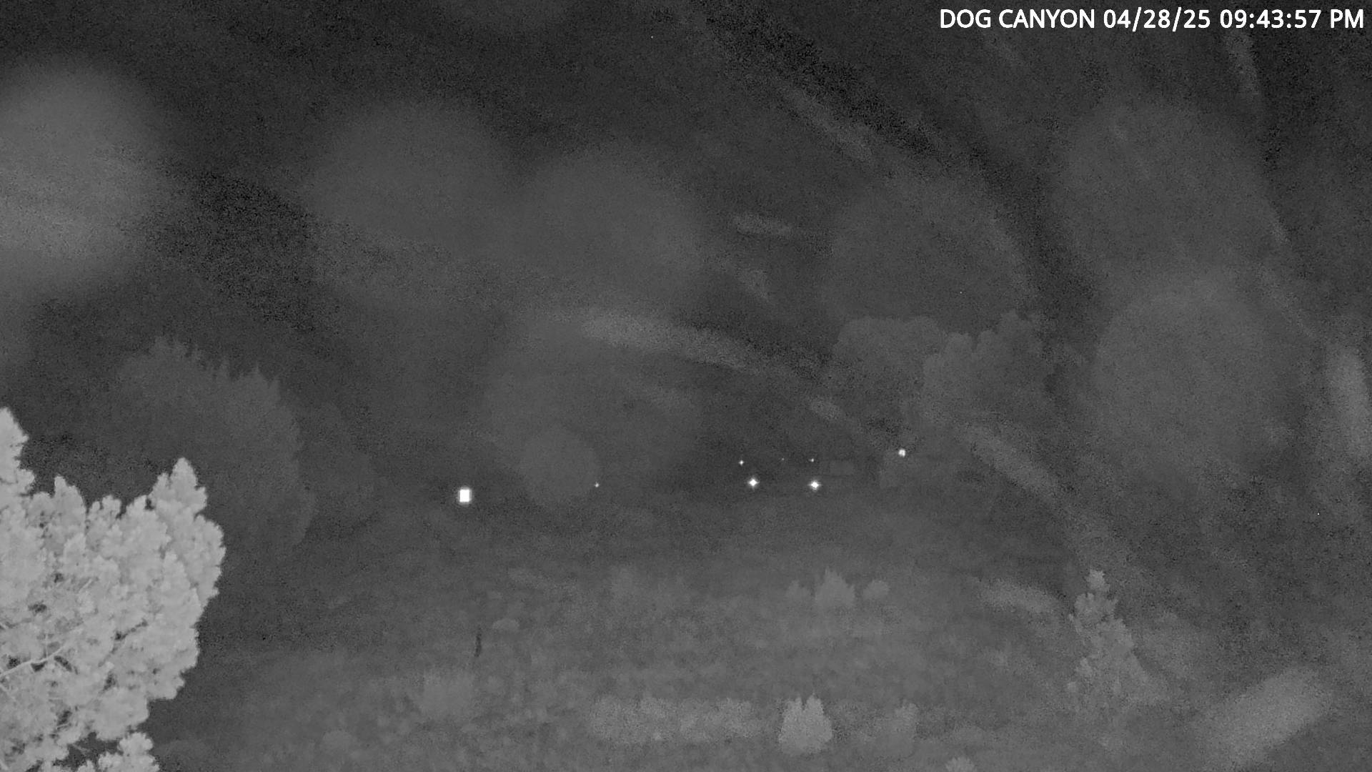
Dog Canyon View webcam at Guadalupe Mountains National Park, United States. Use this view for current scenery and local conditions. Current image from Dog Canyon View. Updates...
National Park Service

Dog Canyon View Webcam

Active

Dog Canyon View webcam at Guadalupe Mountains National Park, United States. Use this view for current scenery and local conditions. Current image from Dog Canyon View. Updates every 30 seconds.

Open live webcam
El Capitan View webcam at Guadalupe Mountains National Park, United States. Use this view for current scenery and local conditions. Current image from El Capitan View. Updates...
National Park Service

El Capitan View Webcam

Active

El Capitan View webcam at Guadalupe Mountains National Park, United States. Use this view for current scenery and local conditions. Current image from El Capitan View. Updates every 30 seconds.

Open live webcam
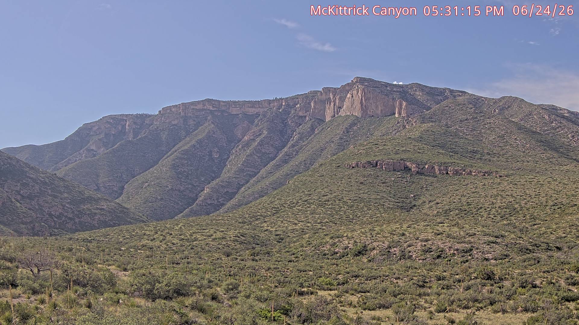
McKittrick Canyon View webcam at Guadalupe Mountains National Park, United States. Use this view for trail, road, and access conditions. Current image from McKittrick Canyon...
National Park Service

McKittrick Canyon View Webcam

Active

McKittrick Canyon View webcam at Guadalupe Mountains National Park, United States. Use this view for trail, road, and access conditions. Current image from McKittrick Canyon View. The view looks toward the north west into McKittrick Canyon trail. Check the image timestamp if shown.

Open live webcam
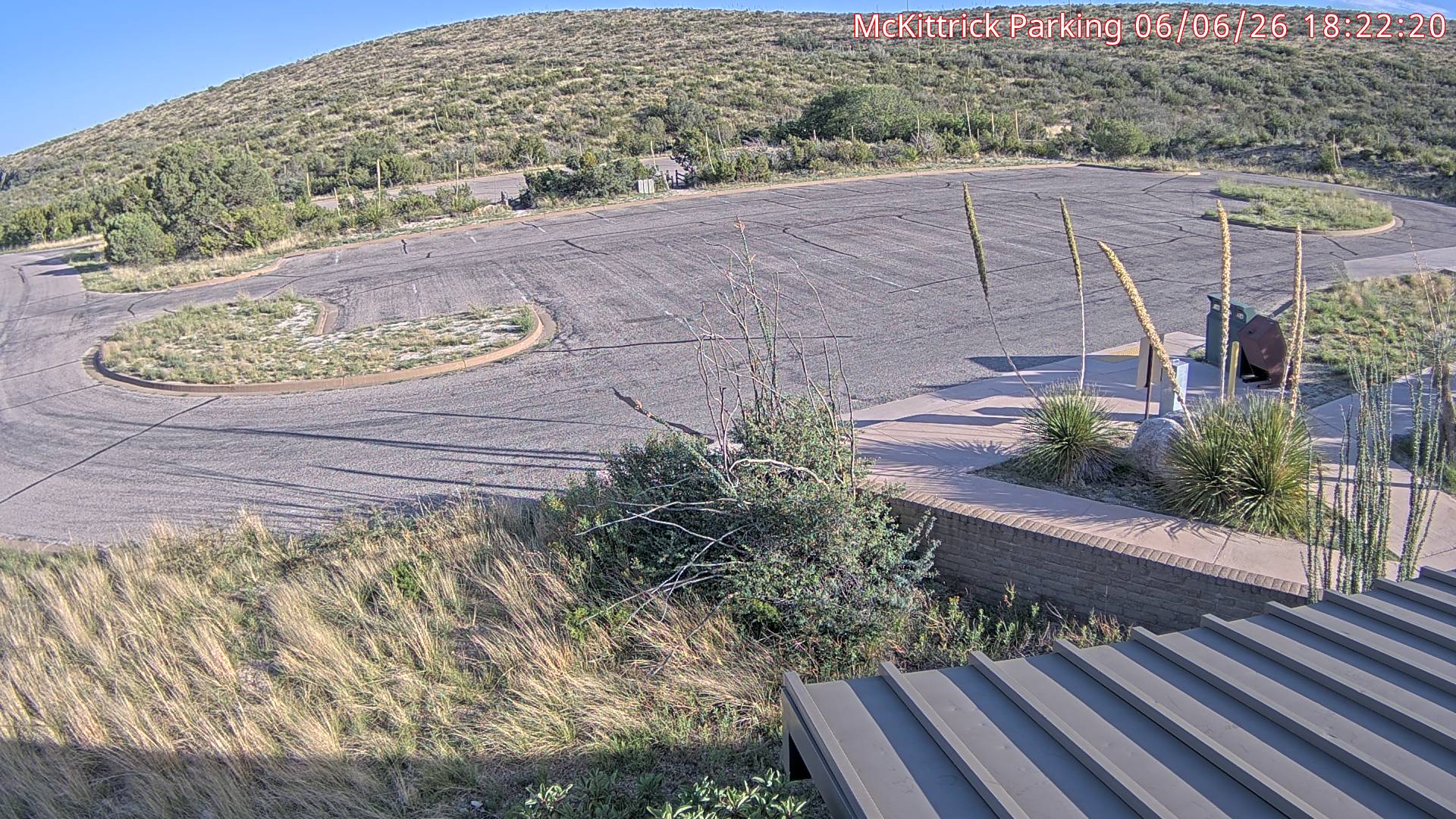
McKittrick Parking Lot webcam at Guadalupe Mountains National Park, United States. Use this view for mountain weather, snow, and visibility. Current image from the McKittrick...
National Park Service

McKittrick Parking Lot Webcam

Active

McKittrick Parking Lot webcam at Guadalupe Mountains National Park, United States. Use this view for mountain weather, snow, and visibility. Current image from the McKittrick Parking Lot webcam in Guadalupe Mountains National Park. Updates every 60 seconds.

Open live webcam
Pine Springs Canyon View webcam at Guadalupe Mountains National Park, United States. Use this view for current scenery and local conditions. Current image from Pine Springs...
National Park Service

Pine Springs Canyon View Webcam

Active

Pine Springs Canyon View webcam at Guadalupe Mountains National Park, United States. Use this view for current scenery and local conditions. Current image from Pine Springs Canyon View. The view looks toward the west into Pine Springs Canyon - "View Webcam" link opens a larger picture that up. Updates every 30 seconds.

Open live webcam

Current Conditions

Live alerts where available, air quality, road status, traffic, and planning links for Guadalupe Mountains National Park.

Roads Official Status

Use the official park site for road closures, seasonal access, and local travel notices.

Open road conditions
Traffic Live Traffic Map

Open Google Maps with the traffic layer centered near the park to compare approach roads, entrances, and nearby congestion.

View live traffic
Recreation Visits 206,423 2025

NPS Stats 2025 annual recreation visits.

Open NPS Stats

Weather

Next 12 hours Local park time

Loading sunrise and sunset...
Loading hourly forecast...

7 day outlook

Loading forecast...

Introduction

Guadalupe Mountains National Park, established in 1972, preserves a portion of the Guadalupe Mountains, a rugged range running north-south across Texas and New Mexico. These ancient mountains have witnessed over 10,000 years of human history, from hunter-gatherers to Spanish explorers. The park commemorates this rich heritage, including conflicts, cooperation, and survival stories. NPS Stats 2025 recorded 206,423 recreation visits. During spring break and fall colors season, expect traffic control measures at popular trailheads.

The park spans 86,367 acres (349.5 km²) within the Guadalupe Mountains. Its highest peak, Guadalupe Peak, stands at 8,751 feet (2,667 m), earning it the nickname "Top of Texas." The landscape features diverse ecosystems, from harsh Chihuahuan desert to lush streamside woodlands, rocky canyons, and mountaintop forests of ponderosa pine and Douglas fir.

Guadalupe Mountains National Park hosts an impressive array of wildlife. Sixty species of mammals, 289 bird species, and 55 reptile species call this area home. For more information, go to the park’s Wikipedia page.

Top Hikes

These three hikes are good starting points for planning, with at least one more difficult option. Distances and elevation gain are rounded; check the official park trail page for current closures, permits, weather, and trail conditions.

McKittrick Canyon Trail (moderate) - 6.8 miles (10.9 km); elevation gain 900 feet (274 m). A popular canyon hike known for fall color, geology, and desert-mountain scenery.

Devil's Hall Trail (moderate) - 4.2 miles (6.8 km); elevation gain 548 feet (167 m). A rocky wash route to a narrow canyon feature near Pine Springs.

Guadalupe Peak Trail (difficult) - 8.4 miles (13.5 km); elevation gain 2,950 feet (899 m). The strenuous climb to the highest point in Texas.

Backpacking Trips

The NPS list several hikes at their site. If you're planning on camping, make sure to get a backcountry permit beforehand. The links below can help you with your planning. The best times to visit this trail are from October through May. My favorite is below,

The Tejas Trail, McKittrick Canyon Trail, and Dog Canyon Trail is a scenic point-to-point route that leads visitors along some of the more popular trails in Guadalupe Mountains National Park, Texas, United States. The trail is approximately 20.5 miles (33 km) long and offers a scenic route through the park's diverse flora and fauna. The trail begins at the Dog Canyon Campground Trailhead and links up with McKittrick Ridge before ending at the McKittrick Visitor's Center. Along the way, you'll encounter a mix of terrain from exposed and rocky switchbacks to flat and level hiking trails in the valley.

Campgrounds/Lodges

There are no hotel or Lodges within the park.

There are three campgrounds within Guadalupe National Park. They can be reserved at recreation.gov. Link is below.

Pine Springs Campground is near the Pine Springs Visitor Center. It is located near the base of Guadalupe Peak. Campground conveniences include: potable water, accessible flush-toilet restrooms, and utility sink. There are 20 tent sites. Small junipers and oaks partially shade most of the sites and each site has a picnic table. Occupancy of individual campsites is limited to 6 people and 2 tents per site. The RV camping area is a paved parking lot with 13 sites to choose from. The campground can accommodate RVs and trailers up to 55 feet (17 m). There are no hook-ups and there is no dump station. No hose connection for fresh water tanks.

Dog Canyon Campground is in a secluded, forested canyon on the remote north side of the park, a two hour drive from Pine Springs. Due to a slightly higher elevation and protected location beneath steep cliff walls, it remains cooler than Pine Springs campground in the summer and sheltered from strong gusty winds in winter and spring. The campground has 9 tent sites and 4 RV sites. The maximum length of an RV is 23 feet (7 m). There are no hookups, nor dump station. Restrooms have sinks and flush toilets, but no showers.

The Frijole Horse Corral Campground is located near the beginning of the Frijole Ranch Road, one mile (1.6 km) north of Pine Springs. Just a short distance from the highway, this facility offers corrals, tent pads, pit toilet, and trailer parking for group campers and horse users.

Planning answers

Frequently Asked Questions

What is the best time of year to visit Guadalupe Mountains National Park?

The best time to visit Guadalupe Mountains National Park is spring or fall, especially March through May and September through November. Summer can be hot at lower elevations, and winter can bring strong winds and occasional snow.

What does it cost to enter Guadalupe Mountains National Park, and do I need a pass or permit?

Guadalupe Mountains National Park uses a park-specific entrance pass or per-person fee according to the official NPS fees page. Check the official fee page before visiting because rates and pass options can change. America the Beautiful passes are accepted for federal entrance fees, but they do not cover separate reservations, camping, tours, or activity fees.

Where are pets allowed in Guadalupe Mountains National Park?

Pet rules vary by trail, road, campground, building, shuttle, and season. Before visiting with a pet, confirm current rules with the official Guadalupe Mountains National Park pet guidance. Official NPS pets information

What time are the visitor centers open?

Visitor center hours at Guadalupe Mountains National Park can change by season, staffing, holidays, weather, and closures. Check the official operating hours or visitor center information before you go. Official NPS operating hours

Why might a Guadalupe Mountains National Park webcam be unavailable?

Park webcams can go offline because of weather, seasonal closures, maintenance, power issues, network outages, or camera provider changes.

Where can I confirm official Guadalupe Mountains National Park conditions?

Use this page as a quick webcam and planning hub, then confirm closures, alerts, road status, permits, and current conditions with the official National Park Service page for Guadalupe Mountains National Park.