
Introduction
Ordesa y Monte Perdido National Park protects one of the most dramatic landscapes in the Spanish Pyrenees, including Ordesa Valley, Anisclo Canyon, Escuain Gorges, Pineta Valley, and the Monte Perdido massif. The park is known for glacial valleys, limestone walls, waterfalls, beech and fir forests, alpine terrain, and high-mountain routes.
Ordesa y Monte Perdido National Park is part of the UNESCO World Heritage property Pyrénées - Mont Perdu, a cross-border mountain landscape recognized for deep canyons, glacial cirques, limestone landforms, pastoral history, and high Pyrenean scenery.
For broader background, see the Ordesa y Monte Perdido National Park Wikipedia page.
Top Hikes
These three hikes are good starting points for planning, with at least one more difficult option. Distances and elevation gain are rounded; check the official park trail page for current closures, permits, weather, and trail conditions.
Pradera de Ordesa to Cola de Caballo (moderate) - 10.6 miles (17.0 km); elevation gain about 1,640 feet (500 m). The signature Ordesa Valley route following waterfalls and canyon walls to the Cola de Caballo waterfall.
Faja de las Flores (difficult) - 10.6 miles (17.0 km); elevation gain about 3,280 feet (1,000 m). A spectacular exposed ledge route high above the Ordesa Valley for experienced hikers with good conditions.
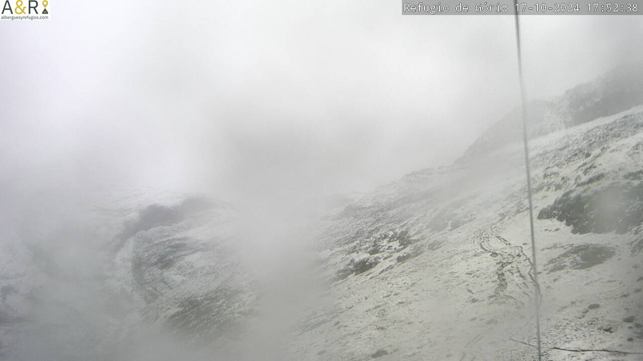
Monte Perdido from Refugio de Goriz (difficult) - 6.8 miles (11.0 km); elevation gain about 3,600 feet (1,100 m). A serious high-mountain summit route from Refugio de Goriz requiring fitness, route-finding, and careful snow and weather checks.
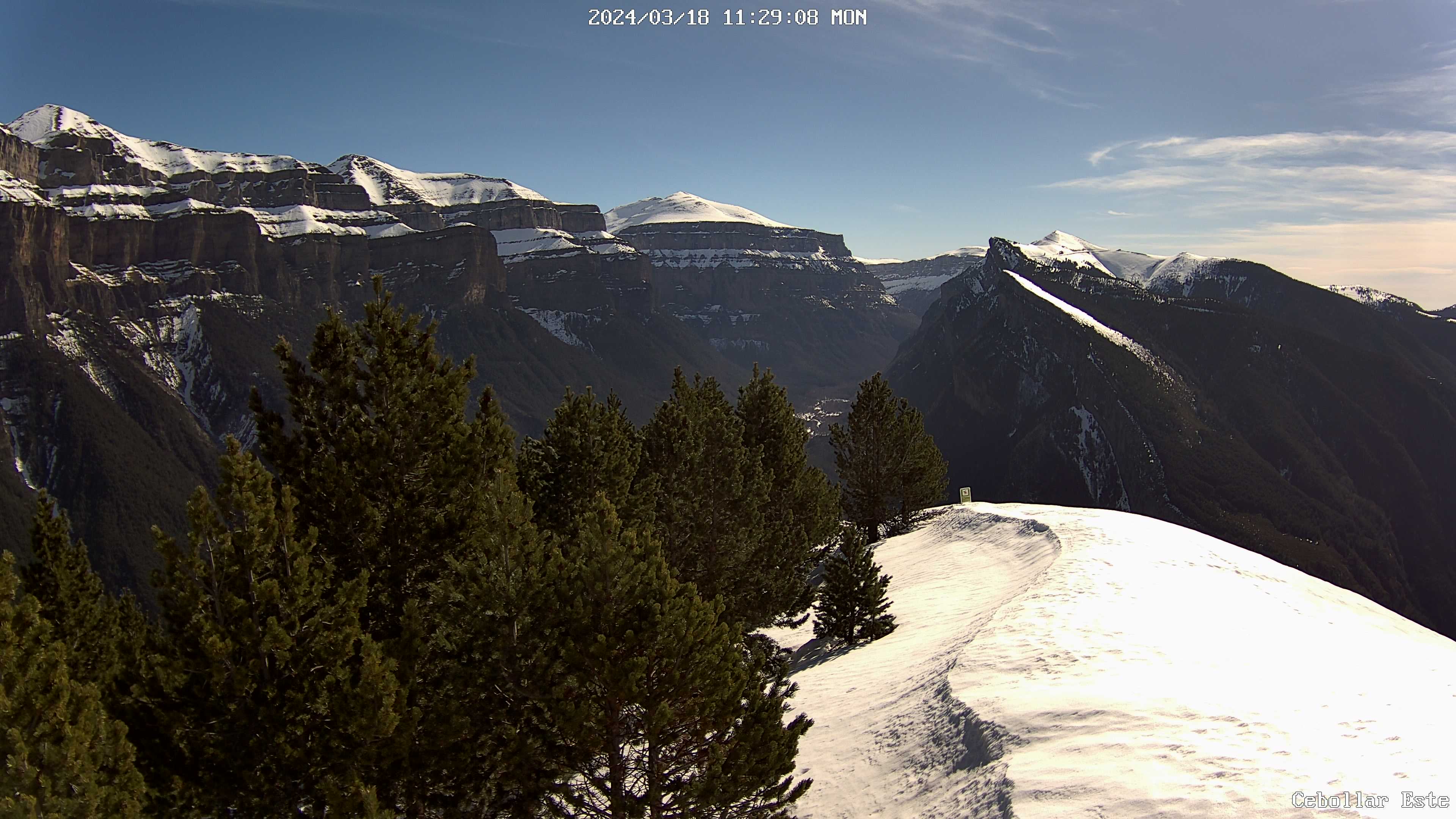
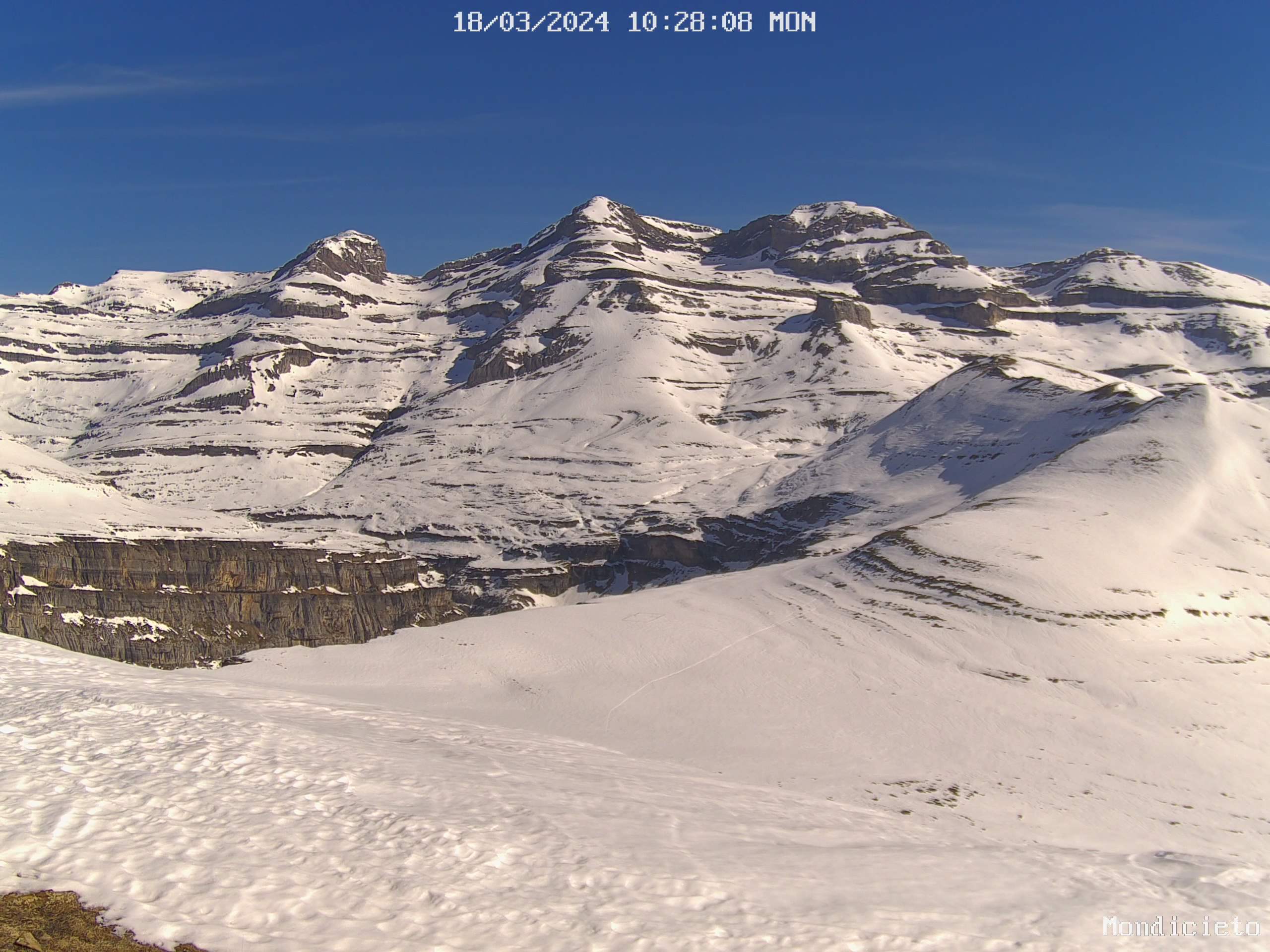
Ordesa Valley and Waterfalls
The Pradera de Ordesa to Cola de Caballo route is the signature valley hike, following waterfalls, forest, and canyon walls to one of the park's best-known viewpoints. In busy seasons, access to Pradera de Ordesa may depend on shuttle buses and traffic restrictions.
Monte Perdido and High Routes
Routes such as Faja de las Flores and Monte Perdido from Refugio de Goriz are serious mountain outings. Use the Ordesa webcam, Goriz webcams, current weather, and local route updates before planning high routes.
Safety and Planning
Ordesa y Monte Perdido has exposed ledges, high elevation, snowfields, fast-changing weather, and seasonal access controls. Carry proper mountain gear, check official information, and choose routes that match current conditions.