Sierra Nevada National Park Webcams

View Sierra Nevada National Park webcams and planning links for Mirlo Blanco, Borreguiles, Pradollano, Veleta, Mulhacen, the Alpujarra, high mountain routes, maps, weather, and official visitor information.

Live Cams & Maps

The Sierra Nevada National Park webcams include Mirlo Blanco Webcam, Zona Borreguiles Webcam, and Pradollano-Rio Webcam from Skiresort.info / Sierra Nevada and Sierra Nevada Resort. Check these views with the map and weather before you visit.

Park location
Current Mirlo Blanco webcam image in the Sierra Nevada high country.
Skiresort.info / Sierra NevadaMirlo Blanco Webcam

Current image

Current Mirlo Blanco webcam image in the Sierra Nevada high country.

Open live webcam
Current Zona Borreguiles webcam image in Sierra Nevada.
Skiresort.info / Sierra NevadaZona Borreguiles Webcam

Current image

Current Zona Borreguiles webcam image in Sierra Nevada.

Open live webcam
Current Pradollano-Rio webcam image from the Sierra Nevada official webcam system.
Sierra Nevada ResortPradollano-Rio Webcam

Current image

Current Pradollano-Rio webcam image from the Sierra Nevada official webcam system.

Open live webcam

Current Conditions

Live alerts where available, air quality, and official road status links for Sierra Nevada National Park.

Alerts Official Updates

Open the official park site for current notices and closures.

Open official updates
Roads Official Status

Use the official park site for road closures, seasonal access, and local travel notices.

Open road conditions

Weather

Next 12 hours Local park time

Loading sunrise and sunset...
Loading hourly forecast...

7 day outlook

Loading forecast...

Introduction

Sierra Nevada National Park protects the highest mountains on the Iberian Peninsula, including Mulhacen and Veleta, above Granada and Almeria in southern Spain. The park is known for high alpine scenery, snowfields, mountain goats, villages of the Alpujarra, summer hiking, winter snow sports nearby, and sharp changes in elevation and weather.

For broader background, see the Sierra Nevada National Park Wikipedia page.

Top Hikes

Sierra Nevada has signed walking routes and many high mountain itineraries, but snow, heat, altitude, shuttle schedules, and route exposure can change plans quickly. Distances and elevation gain below are rounded planning estimates.

Vereda de la Estrella

Vereda de la Estrella is a classic valley route with views toward the north faces of Mulhacen, Alcazaba, and Veleta. The full out-and-back is about 13 miles (21 km) with roughly 2,600 feet (790 m) of elevation gain, though shorter versions are possible.

Veleta from Hoya de la Mora

The Veleta route is one of the most popular high-elevation hikes because road access starts high near Hoya de la Mora. A typical summit outing is about 8 to 9 miles (13 to 14.5 km) round trip with roughly 2,800 to 3,000 feet (850 to 915 m) of gain.

Mulhacen from Capileira / Poqueira

Mulhacen is the difficult choice and the highest summit in mainland Spain. Common routes from the Capileira and Poqueira side can be 14 to 18 miles (22.5 to 29 km) with 4,000 to 5,000 feet (1,220 to 1,525 m) of gain, depending on shuttle use, refuge plans, snow, and trailhead access.

Camping and Lodging

Visitors usually base in Granada, Pradollano, Capileira, Bubion, Pampaneira, Trevelez, or other Alpujarra villages. High mountain refuge use, bivouac rules, parking, ski-area services, and shuttles should be checked with official sources before overnight or summit plans.

Safety and Planning

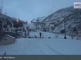
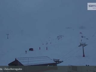
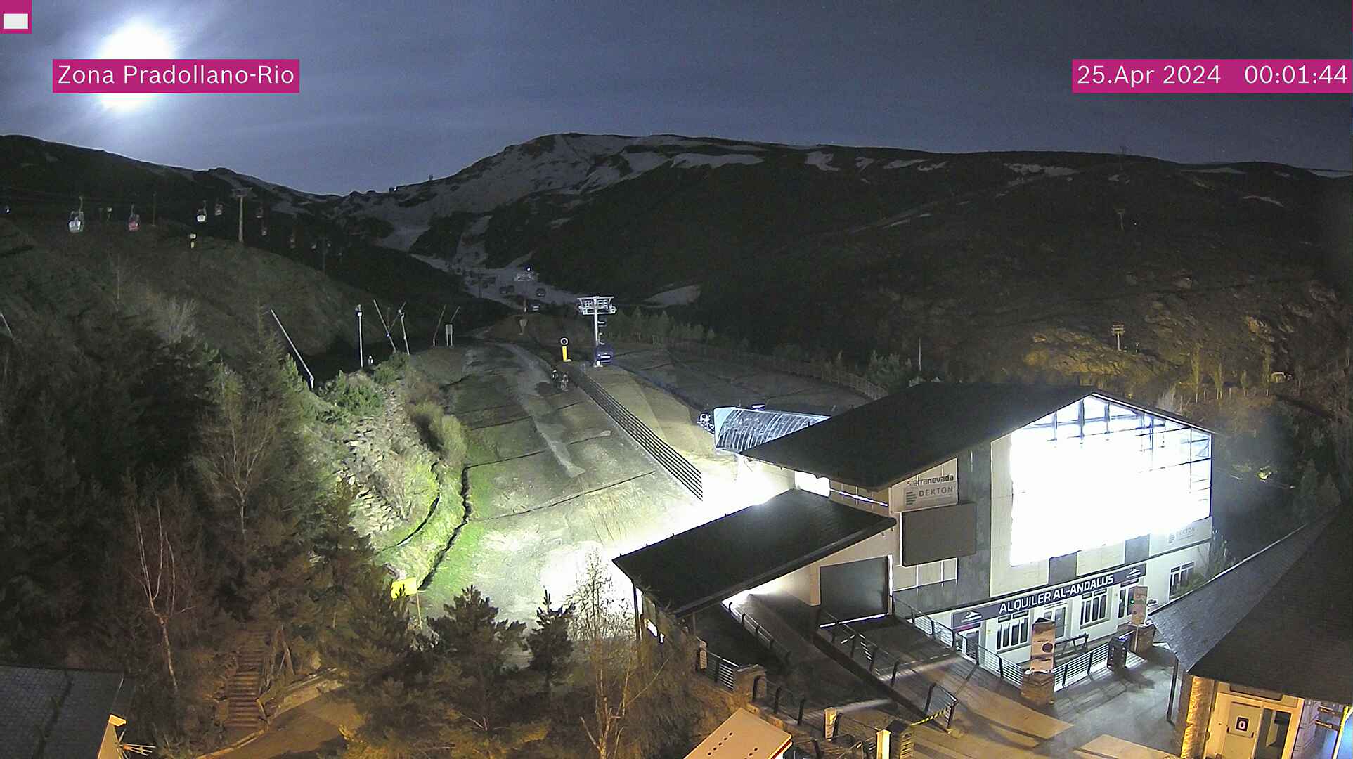
Sierra Nevada combines intense sun, altitude, snow, wind, heat at lower elevations, and sudden storms. Check official park information, webcam visibility, weather, road access, and mountain route conditions before heading above the villages or ski area.

Planning answers

Frequently Asked Questions

What is the best time of year to visit Sierra Nevada National Park?

The best time to visit Sierra Nevada National Park is June through October for high-elevation hiking, with July through September usually best for routes toward Veleta and Mulhacen. Winter and spring are better for snow views and ski-area access, but high routes require winter skills, avalanche awareness, and current conditions checks.

What does it cost to enter Sierra Nevada National Park, and do I need a pass or permit?

Sierra Nevada National Park does not generally have a single park entrance gate or general entry fee. Parking, ski-area lifts, shuttle transport, refuges, guided activities, and some visitor services can have separate fees or seasonal access rules.

Why might a Sierra Nevada National Park webcam be unavailable?

Park webcams can go offline because of weather, seasonal closures, maintenance, power issues, network outages, or camera provider changes.

Where can I confirm official Sierra Nevada National Park conditions?

Use this page as a quick webcam and planning hub, then confirm closures, alerts, road status, permits, and current conditions with the official Spain's National Parks page for Sierra Nevada National Park.