
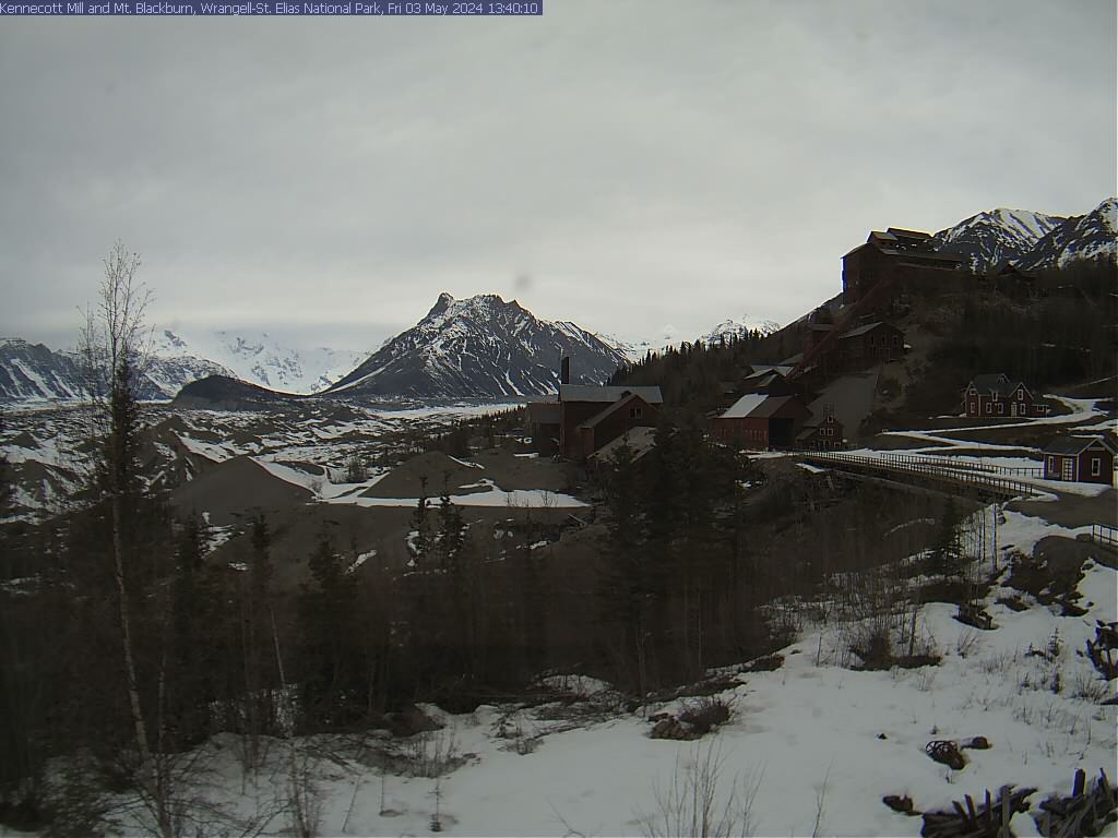
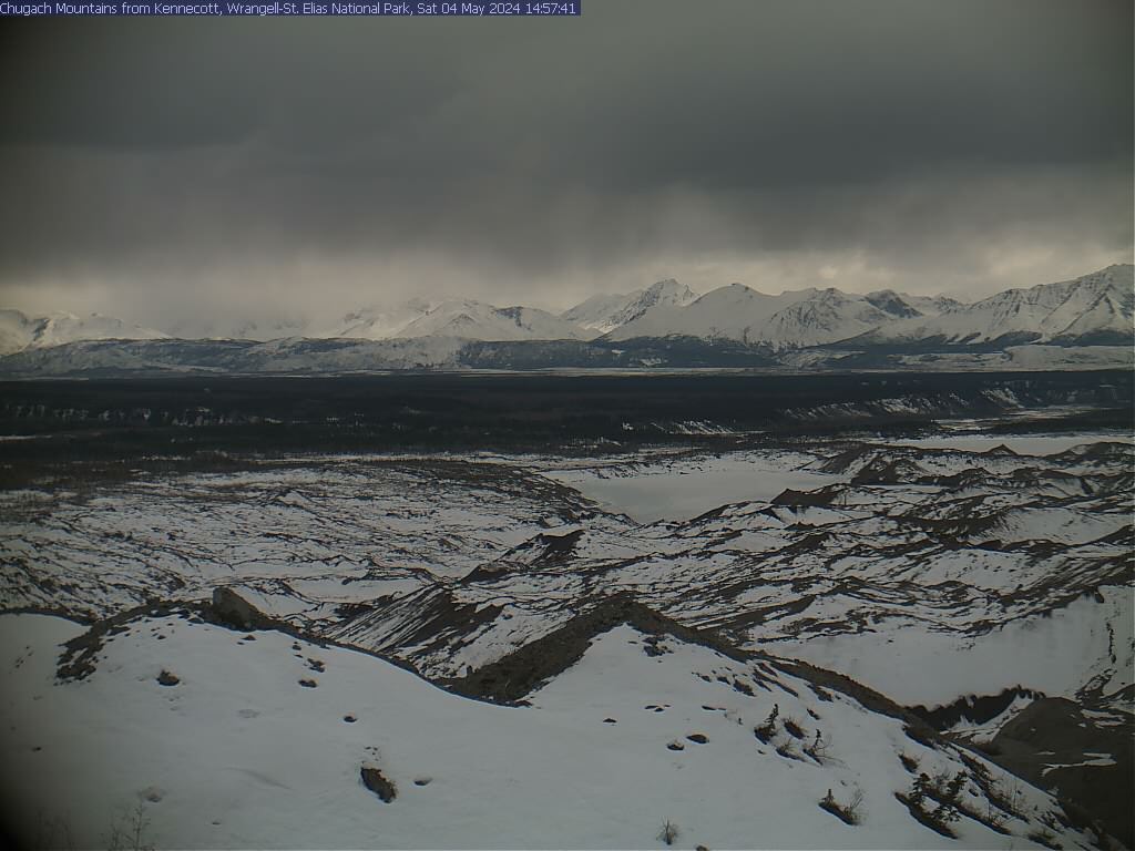

Webcam status: The Wrangell-St. Elias webcams are currently inactive and temporarily unavailable. Check the official NPS webcam pages for updates.
Introduction
Wrangell-St. Elias was established on December 2, 1980, under the Alaska National Interest Lands Conservation Act (ANILCA). The park has extremely cold winters, with a small summer season. The Bagley Icefield covers much of the park’s interior (60% of the permanently ice-covered terrain of Alaska). The park preserves the natural scenic beauty of diverse landscapes, including geologic formations, glaciers, and riparian areas. The park is enormous, covering a total area of 13,175,799 acres (20,587.19 sq mi; 53,320.57 km²). This makes it the largest area managed by the National Park Service. It is equal to six Yellowstone National Parks. The park alone is larger than the combined size of nine U.S. states and is approximately the same size as Bosnia and Herzegovina or Croatia. The park is also part of the Kluane/Wrangel-St. Elias UNESCO World Heritage Site. The park is home to the second highest peak in the United States and Canada, Mount St. Elias. It also contains North America's largest subpolar icefield. The historic Kennecott copper mines are located within the park’s boundaries.
The park is well known for its abundant wildlife, including Dall sheep (One of the largest concentrations in North America), moose, bears (black bears, brown bears, and grizzly bears), caribou and bison. You can find salmon (red, silver, king) and rainbow trout in the rivers and streams. Along the coast are sea lions, harbor seals, sea otters, and whales along the coast.
The area is remote and weather-dependent. NPS Stats 2025 recorded 108,840 recreation visits. For more information, visit the park's wikipedia page.
Top Hikes
These three hikes are good starting points for planning, with at least one more difficult option. Distances and elevation gain are rounded; check the official park trail page for current closures, permits, weather, and trail conditions.
Boreal Forest Trail (easy) - 0.5 miles (0.8 km); elevation gain 30 feet (9 m). A short McCarthy Road-area nature trail through boreal forest habitat.
Root Glacier Trail (moderate) - 4.0 miles (6.4 km); elevation gain 400 feet (122 m). A popular Kennecott-area route toward glacier views and guided glacier access.
Bonanza Mine Trail (difficult) - 9.0 miles (14.5 km); elevation gain 3,800 feet (1,158 m). A very steep historic mining route above Kennecott for strong hikers.
Top Hikes
These three hikes are good starting points for planning, with at least one more difficult option. Distances and elevation gain are rounded; check the official park trail page for current closures, permits, weather, and trail conditions.
Boreal Forest Trail (easy) - 0.5 miles (0.8 km); elevation gain 30 feet (9 m). A short McCarthy Road-area nature trail through boreal forest habitat.
Root Glacier Trail (moderate) - 4.0 miles (6.4 km); elevation gain 400 feet (122 m). A popular Kennecott-area route toward glacier views and guided glacier access.
Bonanza Mine Trail (difficult) - 9.0 miles (14.5 km); elevation gain 3,800 feet (1,158 m). A very steep historic mining route above Kennecott for strong hikers.
Backpacking
Backpacking in Wrangell-St. Elias National Park is only for experts. There are no maintained trails. You do not want to go out without a topo map and a Garmin, etc. (with communication capability and a battery pack). Make sure you plan for the weather, including snow, high winds and rain. Make sure you leave a detailed plan with someone you can trust in case there is an issue. Also, you will probably be crossing rivers where the water is coming off of a glacier. Bring another pair of shoes for the crossings. Poles are a big help. Bring a dry bag in case some of your clothes get wet. Lastly, there are a lot of bears in the area. Bear spray is a must. Also, you are required to bring a bear-proof canister for your food.
We have never backpacked within the park. The NPS has routes at their site. There is also a site with FAQs.
Fishing
Fishing is extremely popular within the park. There are miles and miles of streams and rivers, with a diverse fish population. The Copper River and its tributaries are salmon runs for sockeye, coho, and king salmon. The small lakes have lake trout, cutthroat and rainbow trout, grayling, and burbot. Ocean fishing in a kayak is incredible. For more information on fish species and places to fish, go to the NPS website. A valid Alaska fishing license is required. All persons must follow the Alaska Department of Fish and Game regulations. You can buy your licenses online.
Hunting
Game hunting and trapping is strictly regulated within the park. Alaska has a set of regulations that hunters need to be aware of. The NPS page has all the information you need.
Camping
There are many campgrounds in and around the park. Due to the immense size of the park, we will break down the choices by area. Unlike the campgrounds in the lower 48 states, most of the campgrounds are first-come, first-served. A map of Alaska and available campgrounds is available.
Copper Center has no campgrounds within the park. The Copper Valley has many places to choose from, including Native American campgrounds, Bureau of Land Management areas, National Forest and Alaska State Park campgrounds. Please visit the NPS site for more information and a map of local public campgrounds.
McCarthy Road and Kennecott has a few options for camping. Other than the two below, there are private campgrounds and Native American area. Visit the NPS page for more information on camping in the area.
The Cooper River Campground is a non-NPS primitive campground located on the right after crossing the Copper River Bridge. The campsite has 12 sites, picnic tables and a vault toilet.
Donoho Basin Group Campground is a primitive campground. Groups of 8 people or more are required to register with the park, either by email or calling the Kennecott Visitor Center. Registration is not required for smaller groups. For more information go to the Donoho Basin web site.
Nabesna Road Area hosts the only campground in the national park. However, the Nabesna Road has numerous pullouts that you can camp at. Some of the pullouts have picnic tables. Dead Dog Hill and Rock Lake offer vault toilets. Other choices include American Indian, Alaska State Park and the Tetlin National Wildlife Refuge. See the area website for more information.
Kendesnii Campground, located at mile post 27.8 has 10 campsites and two vault toilets. The campground is close to lakes and short hiking trails.
Yakutat and Coastal Area has overnight National Forest camping on Cannon Beach.