
Introduction
Tatra National Park protects Poland's highest alpine landscape along the border with Slovakia, including Rysy, Morskie Oko, glacial valleys, rocky ridges, dwarf-pine slopes, spruce forest, and wildlife habitat for chamois, marmots, lynx, wolves, and brown bears. The official park page notes that the Polish Tatras include 275 km / 171 mi of marked hiking trails.
For broader background on the park's geography and protected status, see the Tatra National Park Wikipedia page. For current rules, tickets, closures, education, and visitor guidance, use the Tatra National Park official site.
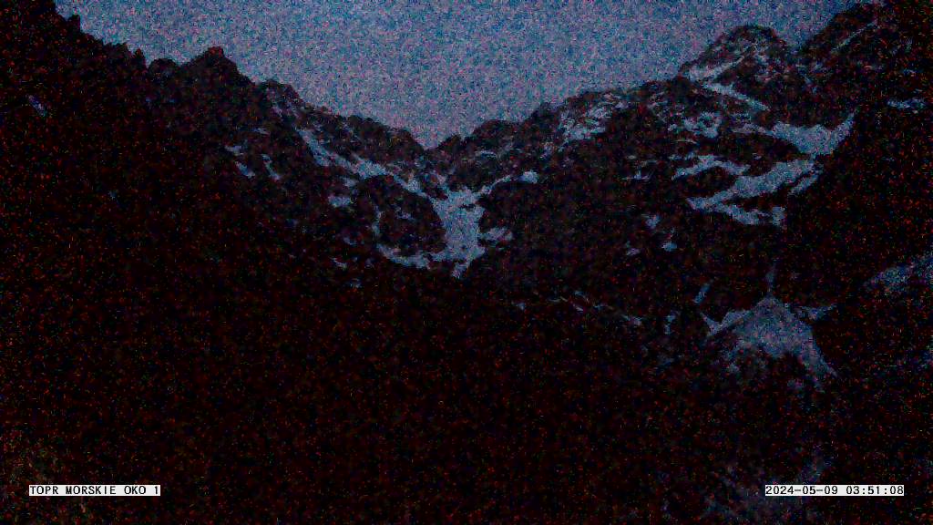
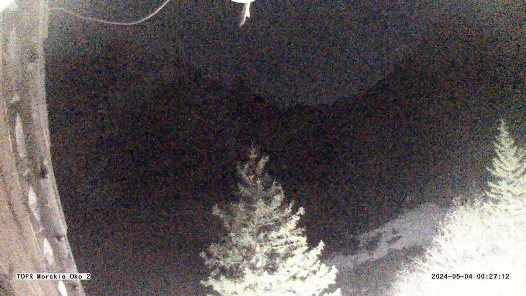
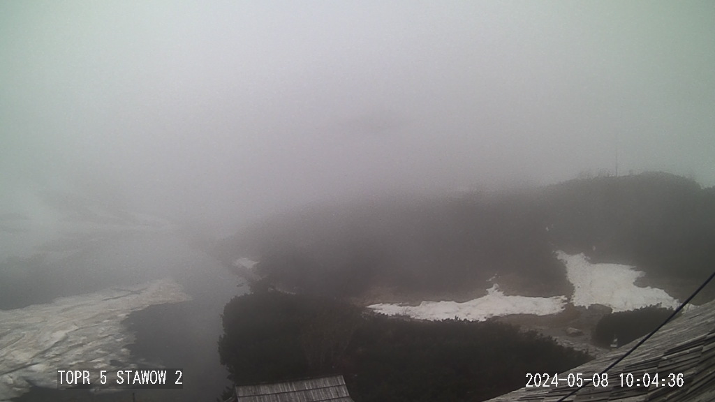
The webcam cards on this page include a live YouTube feed from the Tatra Mountains area and current TOPR mountain-weather images from Morskie Oko and Dolina Pięciu Stawów Polskich. They are helpful for checking cloud, visibility, snow, and fast-changing high-mountain weather before hiking.
Top Hikes
Morskie Oko is the classic lake walk in the Polish Tatras. The paved approach from Palenica Białczańska is about 15.8 km / 9.8 mi round trip with roughly 430 m / 1,410 ft of elevation gain to the lake area. It is popular and accessible by Tatra standards, but winter ice, crowding, shuttle logistics, and weather still matter.
Dolina Pięciu Stawów Polskich is a more demanding mountain-valley hike to the Five Polish Lakes area. A common route from Palenica Białczańska via Wodogrzmoty Mickiewicza and Siklawa is roughly 17 to 20 km / 10.5 to 12.4 mi round trip with about 800 to 900 m / 2,625 to 2,950 ft of gain, depending on the exact route.
Rysy is the difficult high-mountain objective above Morskie Oko and is Poland's highest peak. The route from Morskie Oko is steep, exposed, rocky, and often uses chains near the upper mountain. From Palenica Białczańska, plan roughly 24 to 25 km / 15 to 15.5 mi round trip with around 1,500 m / 4,920 ft of elevation gain.
Camping and Lodging
Camping is restricted in Tatra National Park, so most visitors use Zakopane, nearby villages, or mountain shelters. The Morskie Oko mountain hut and the Five Polish Lakes Valley hut are key lodging points for hikers, but reservations, rules, and seasonal conditions should be checked directly.
Zakopane and surrounding communities provide hotels, guesthouses, rentals, restaurants, transit, guides, and gear services. Book ahead for summer, holidays, and winter ski periods.
Weather and Road Conditions
Tatra weather can change quickly, especially above treeline. Snow, ice, fog, thunderstorms, rockfall, avalanche conditions, and crowding can affect even popular routes. Check TOPR weather, park closures, and trail conditions before committing to high routes.
Getting Around - Transportation
Zakopane is the main gateway town. Many trailheads use paid parking, shuttle buses, or local minibuses, and the Morskie Oko route starts from Palenica Białczańska after reaching the trailhead area. Summer and holiday traffic can be heavy, so early planning helps.
Webcam Notes
The Tatra webcam cards include one live YouTube feed and current TOPR mountain-weather images. The TOPR cameras are still-image webcams that update periodically rather than continuous video streams, and any source may show dark, snowy, foggy, or unavailable views when weather or provider systems change.