
Introduction
Tongariro National Park is New Zealand's oldest national park and a dual World Heritage area, recognized for both natural and cultural values. The park is centered on the volcanic landscapes of Tongariro, Ngauruhoe, and Ruapehu, with alpine crossings, crater lakes, waterfalls, ski areas, and fast-changing mountain weather.
For broader background on the park's volcanic landscape and World Heritage status, see the Tongariro National Park Wikipedia page. For official alerts, closures, track conditions, huts, campsites, and visitor guidance, start with the Tongariro National Park official DOC site.
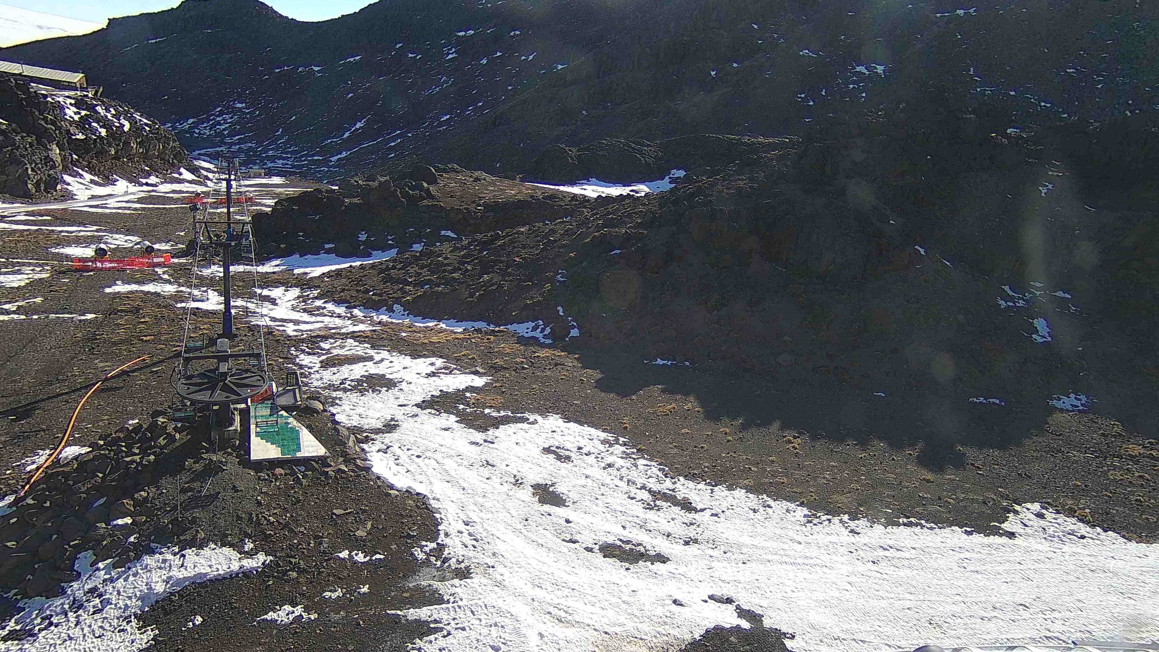
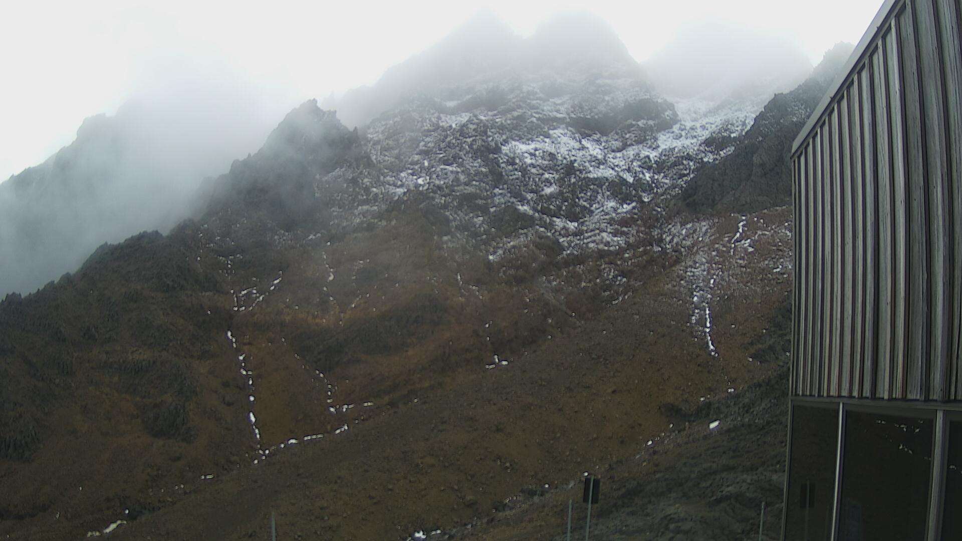
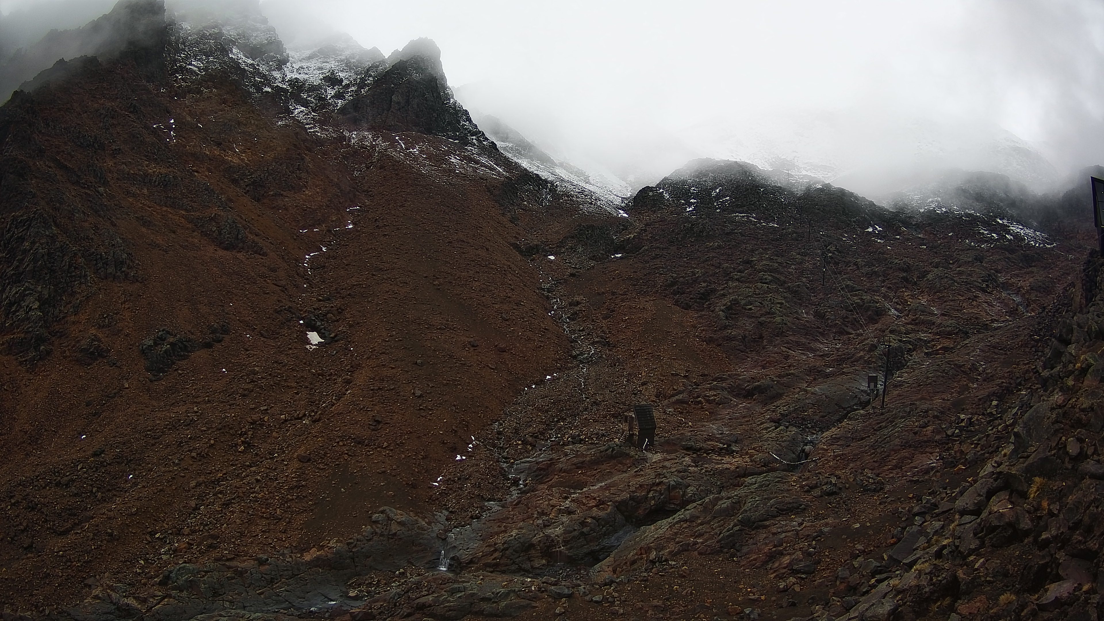
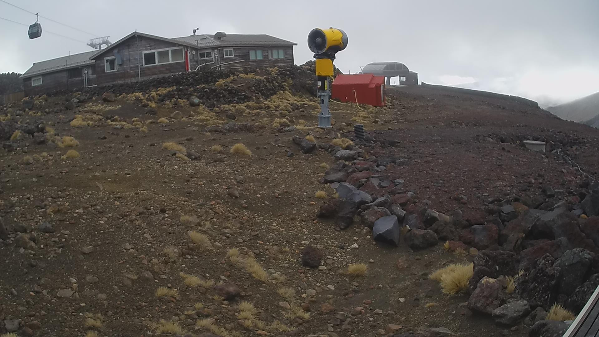
The webcams on this page use current Whakapapa images on Mt Ruapehu. They are useful for checking snow, cloud, visibility, wind exposure, and mountain conditions before hiking, skiing, or driving to Whakapapa Village.
Top Hikes
Tongariro Alpine Crossing is the classic difficult day hike. DOC lists it as 19.4 km / 12.1 mi one way, with a change in elevation of +/- 1,196 m / 3,924 ft. The route crosses active volcanic terrain and can become dangerous in snow, ice, high wind, low cloud, or poor visibility; use DOC conditions and shuttle/parking guidance before committing.
Tama Lakes Track is a strong alternative from Whakapapa Village when conditions are not right for the Alpine Crossing. DOC lists it as 17.6 km / 10.9 mi return, usually 5-6 hours to Lower Tama Lake. Elevation gain is not listed as a single DOC figure; plan on roughly 500 m / 1,640 ft if continuing toward the Upper Tama viewpoint.
Taranaki Falls Walking Track is the best shorter loop near Whakapapa Village. DOC lists it as a 6 km / 3.7 mi loop taking about 2 hours. Elevation gain is modest compared with the alpine routes, roughly 100-150 m / 330-490 ft depending on the exact loop direction.
Camping and Lodging
Whakapapa Village, National Park Village, Turangi, Ohakune, and nearby towns provide lodging, food, shuttles, and visitor services. Inside the park, DOC huts and campsites are tied to specific tracks and seasons, especially the Tongariro Northern Circuit.
The Tongariro Northern Circuit is a Great Walk with huts and campsites that require bookings during the Great Walks season. DOC lists the route as 35.5 km / 22.1 mi one way over 3-4 days. Waihohonu Hut and other DOC huts/campsites should be booked and checked directly with DOC.
Weather and Road Conditions
Tongariro weather changes quickly in every season. Use the webcams with the Whakapapa report, DOC alerts, MetService mountain forecasts, and road conditions before starting. Alpine routes may require winter skills, crampons, ice axe, navigation ability, and avalanche awareness outside summer conditions.
Getting Around - Transportation
Whakapapa Village is the main visitor base inside the park. The Tongariro Alpine Crossing is a point-to-point hike with limited parking and shuttle logistics, so plan transport before the day of your walk. In winter, ski-area roads, Bruce Road, and Ohakune Mountain Road conditions can affect access.
Webcam Notes
The Tongariro webcam cards use current Whakapapa images from Mt Ruapehu. Cameras can go offline temporarily because of weather, maintenance, daylight, ski-area operations, or provider-side changes. The Turoa webcams are linked below as an additional official ski-area condition source.