


Introduction
Dolomiti Bellunesi National Park protects a rugged part of the southern Dolomites in Italy's Veneto region, with steep limestone peaks, valleys, forests, gorges, waterfalls, alpine meadows, and traditional mountain landscapes between the Feltre and Belluno areas.
For broader background on the park's geography, creation, and protected status, see the Dolomiti Bellunesi National Park Wikipedia page.
The park is part of the Dolomites UNESCO World Heritage property. The official park and Parks.it pages are the best starting points for current visitor information, trail planning, maps, and official webcam links.
Top Hikes
These three hikes are good starting points for planning, with at least one more difficult option. Distances and elevation gain are rounded; check the official park trail page for current closures, permits, weather, and trail conditions.
Val Falcina Nature Trail (easy) - 2.8 miles (4.5 km); elevation gain 750 feet (230 m). A popular nature trail near Lago del Mis with forest, water, and interpretive stops.
Val Canzoi and Cadini del Brenton (moderate) - 5.0 miles (8.0 km); elevation gain 1,300 feet (400 m). A classic park-area outing linking Val Canzoi scenery with pools, waterfalls, and mountain views.
Alta Via 1 Park Section (difficult) - 10.5 miles (17.0 km); elevation gain 3,300 feet (1,000 m). A demanding Dolomites high-route section requiring mountain fitness, route planning, and hut logistics.
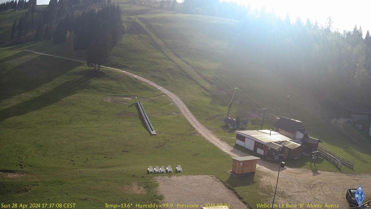
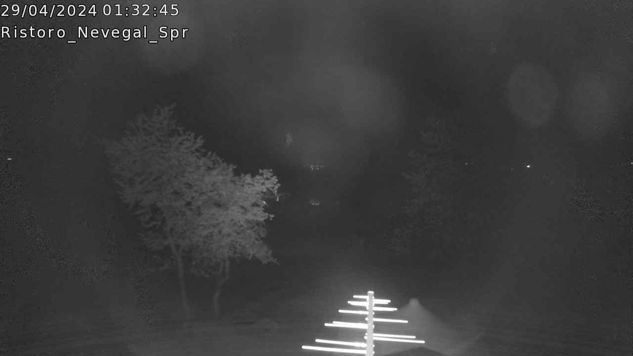
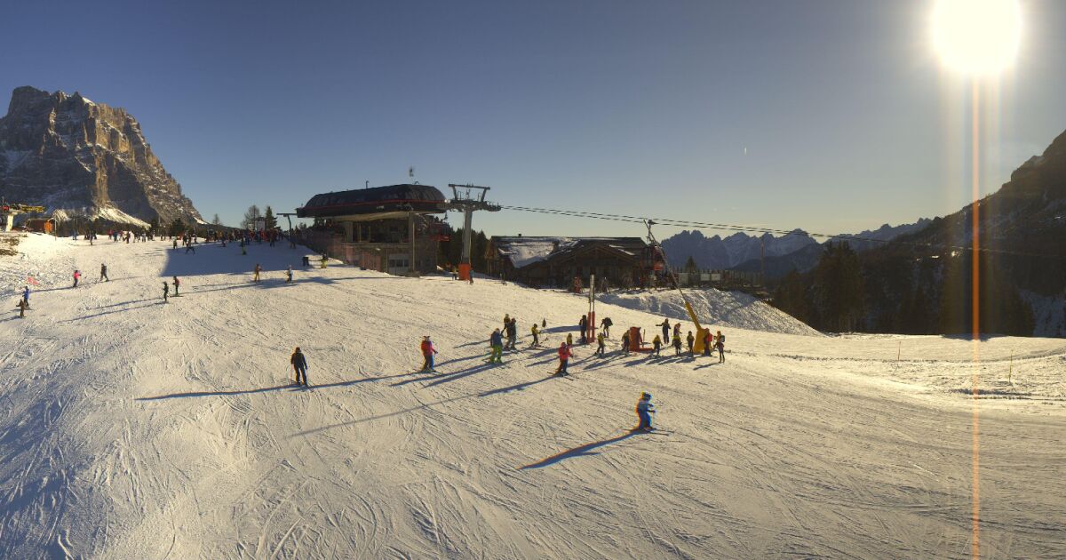
Park and Nearby Dolomiti Bellunesi Area Cams
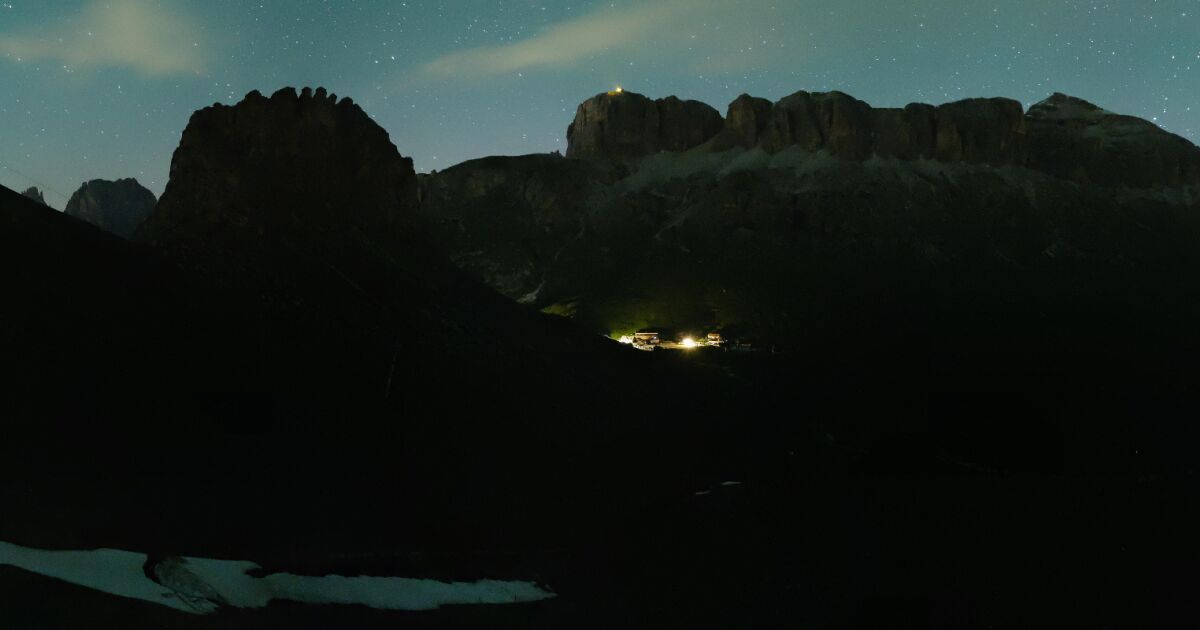
The camera cards start with a live Sassolungo / Langkofel and Passo Sella Dolomites YouTube feed. That view is outside Dolomiti Bellunesi National Park, but it is part of the Dolomites UNESCO World Heritage setting and useful for broader Dolomites weather, snow, cloud, and visibility context. The remaining cards show nearby Belluno Dolomites and regional Dolomites views from the Visit Dolomiti Bellunesi webcam feed, and are labeled as nearby or regional so visitors do not confuse them for cameras inside the national park boundary.
The official park-area webcam listing from Dolomiti Bellunesi National Park / Parks.it includes Val Canzoi - La Santina, Feltre U.M. Feltrina, and San Gregorio nelle Alpi. The Official webcam page is linked as a planning resource, but its direct images are not embedded because the camera image host is not reliable over HTTPS.
Camping, Huts, and Visitor Services
Use the official park site and the Val Falcina information point page for current visitor services. The Val Falcina area includes parking, a picnic area, camper and tent facilities, toilets, and access to the Val Falcina Nature Trail. For longer mountain routes, confirm refuge and hut availability before travel.
Planning Notes
Mountain weather in the Belluno Dolomites can change quickly. Use the webcam cards with the local weather forecast, official park links, and current trail information before hiking. Longer CAI routes, vie ferrate, and Alta Via sections require stronger mountain preparation than short nature trails.